|
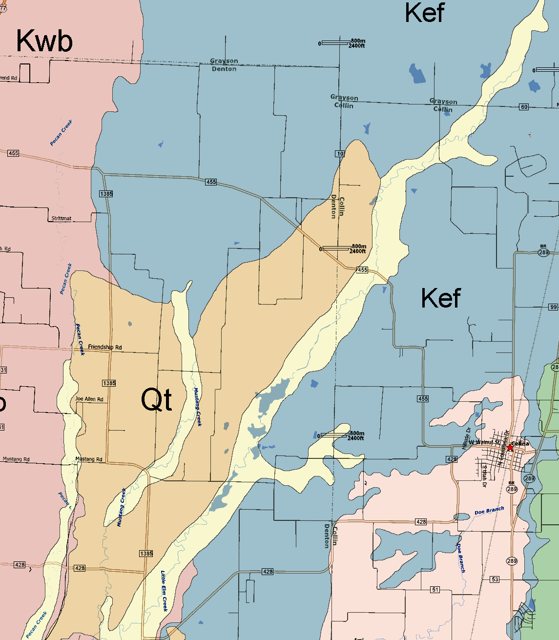
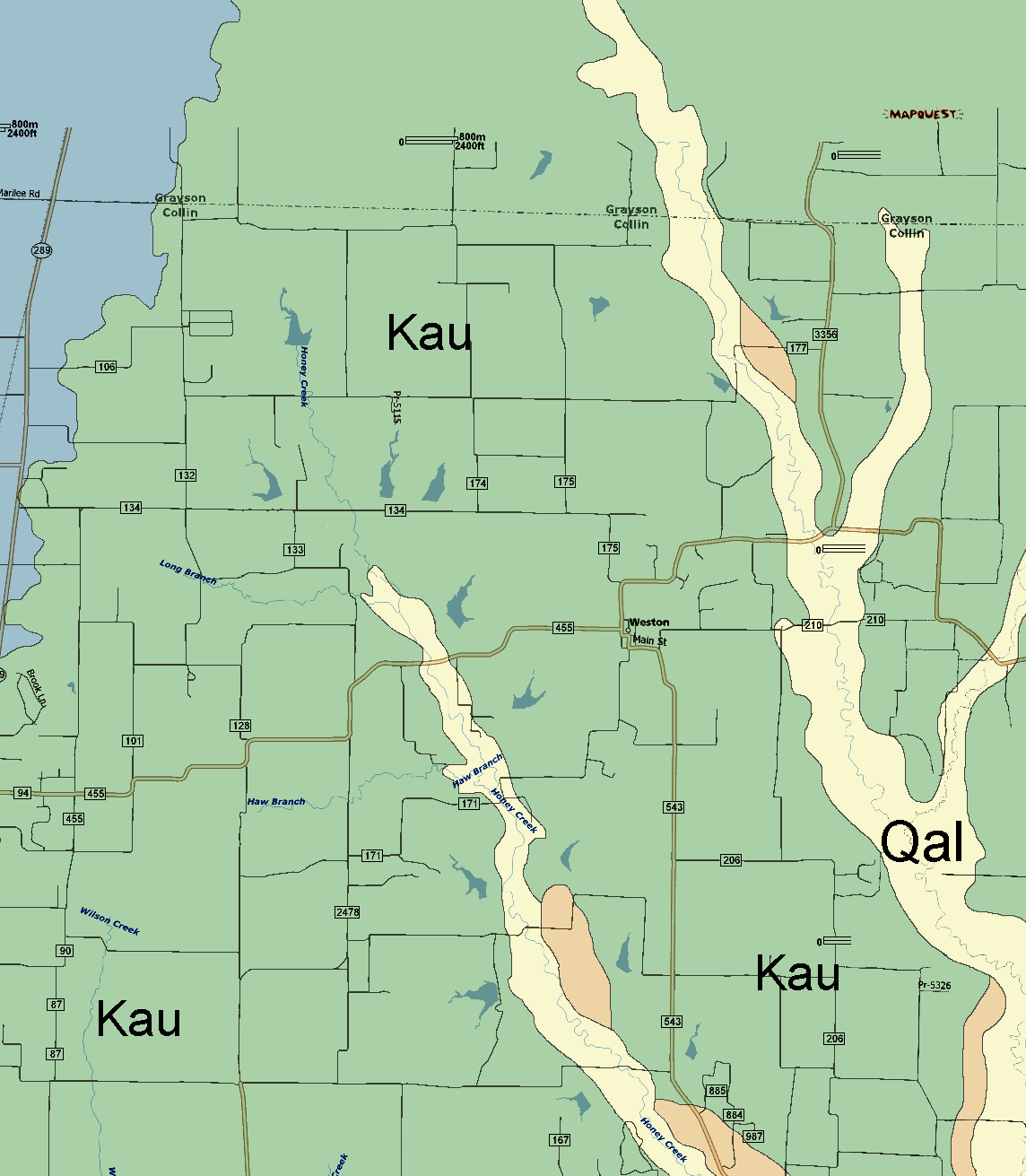
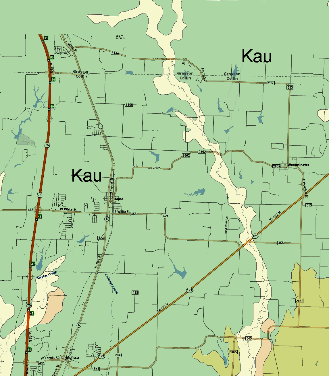
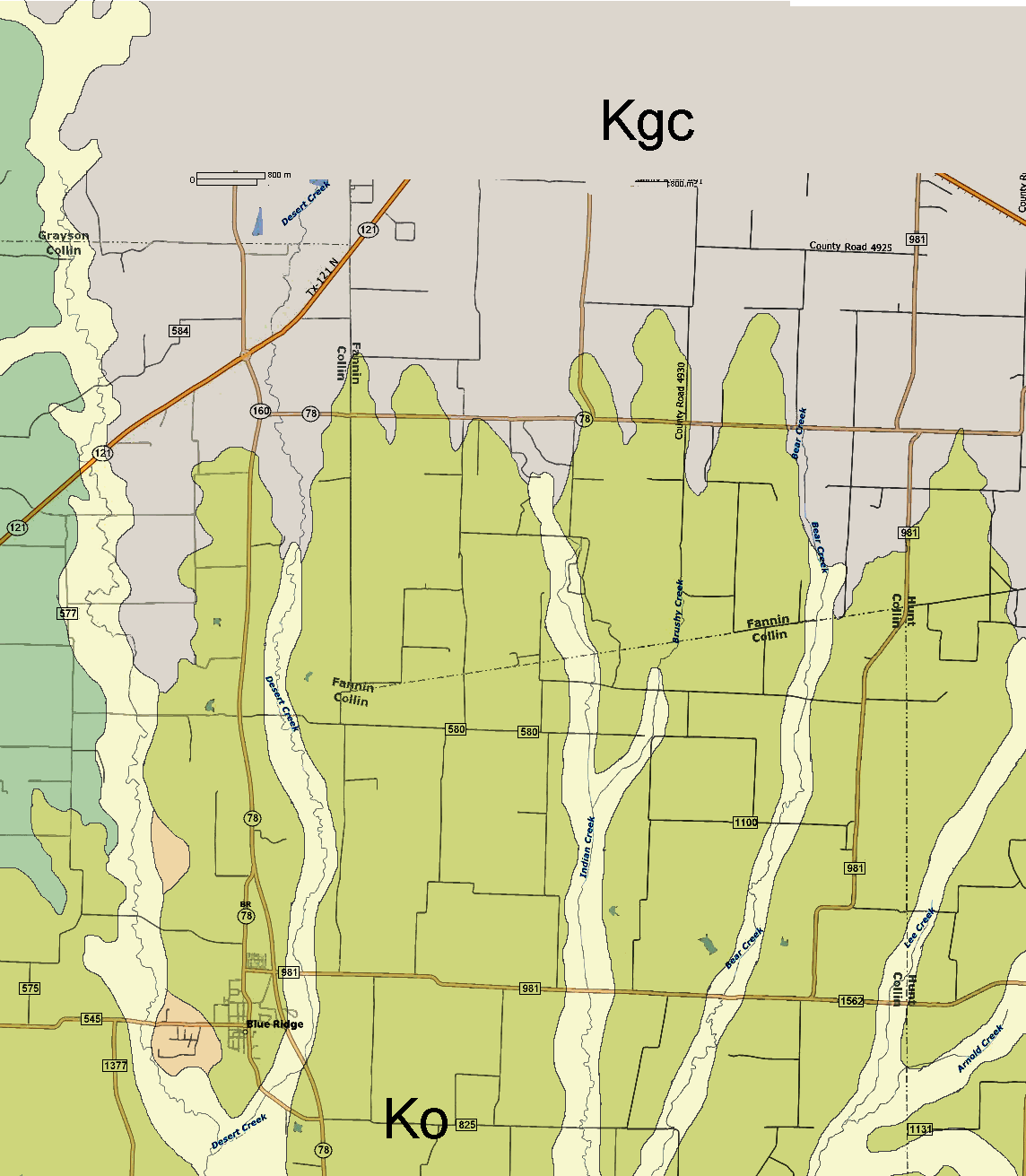
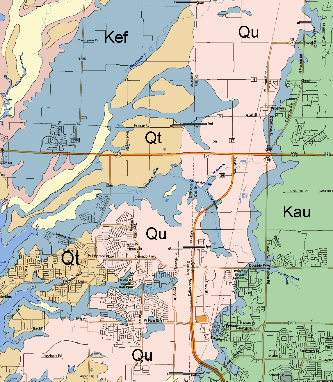
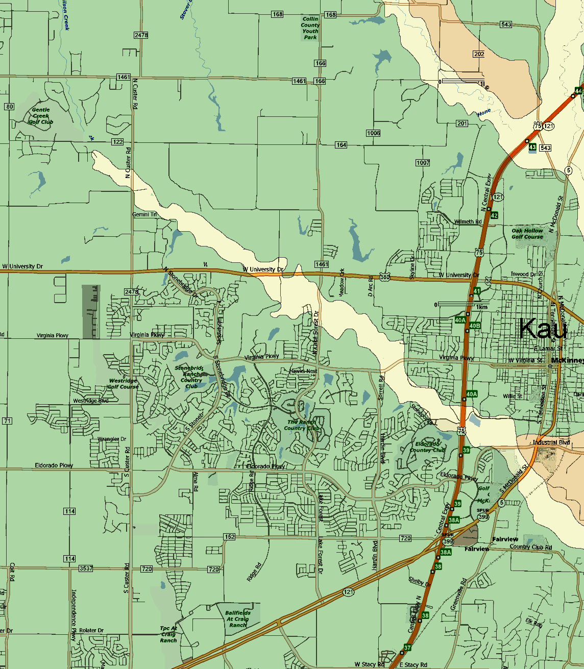
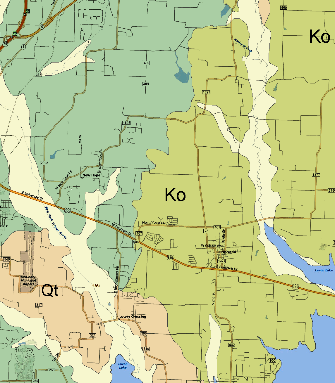
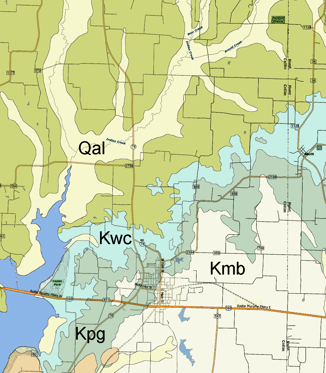
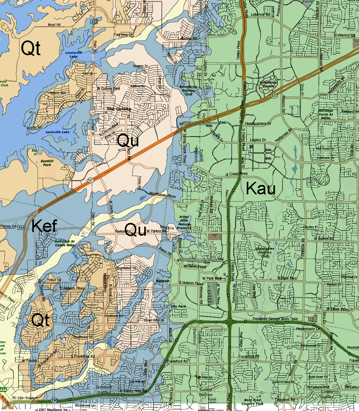
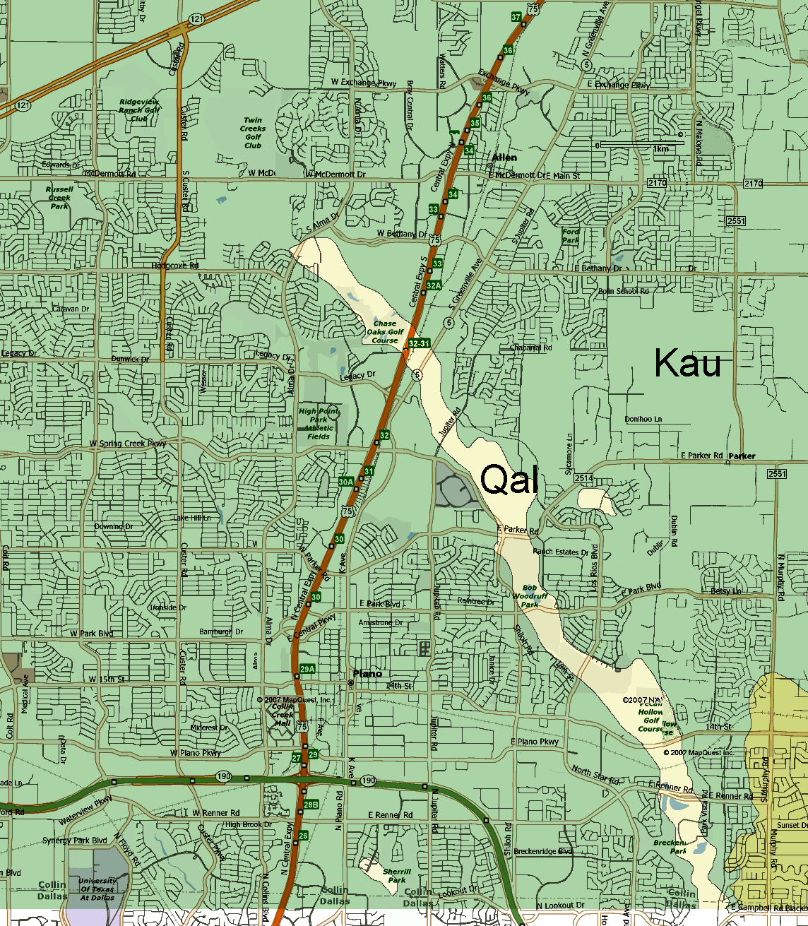
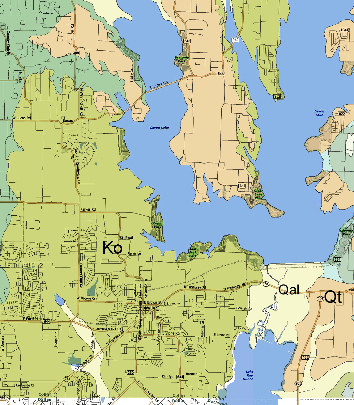
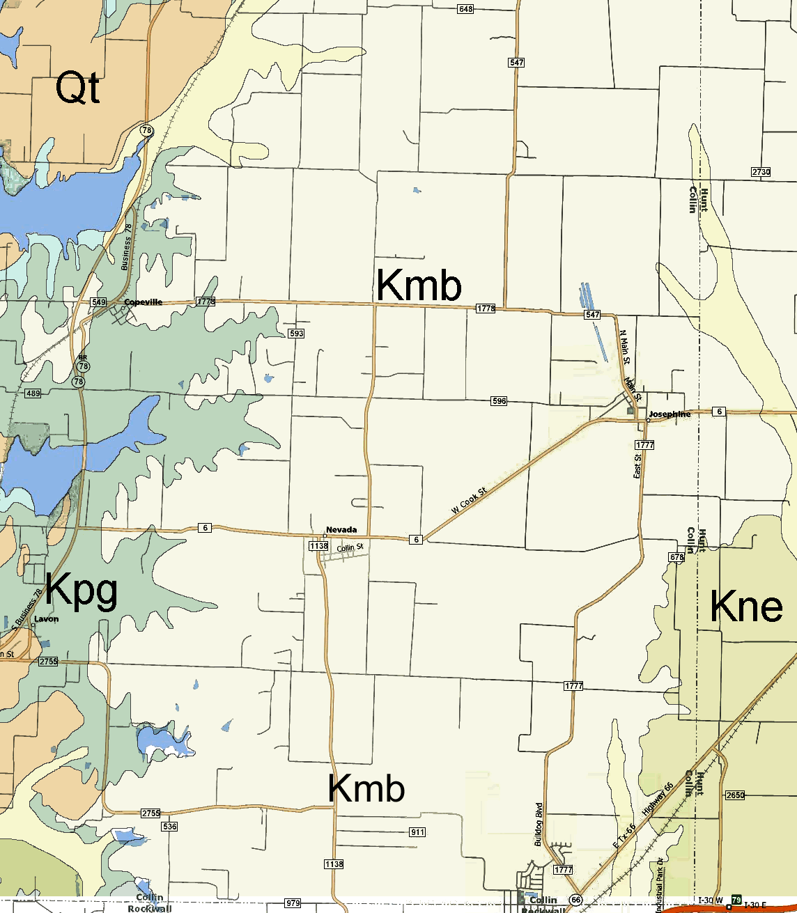
The source geological map used is from "The Geological
Atlas of Texas, Sherman Sheet" - Bureau of Economic Geology, 1967
(revised 1991). The map was digitally distorted in some spots to
align the roads with the more accurate modern map. Colors used in
this map are arbitrary but similar to original map colors.
Geologic Atlas of Texas - Sherman Sheet
descriptive booklet (PDF file - 260k)
[The best way to print the maps is to save each large image to your
computer and then open with the default picture viewer. This should
allow you to print each image and fill a standard 8x11 page without any
clipping or resizing as may occur if printing from your browser.]
|