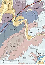
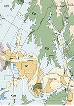
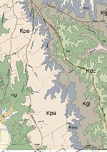
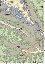
Geology of Parker county, Texas


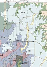
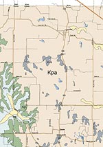
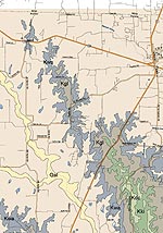
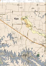
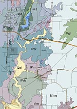
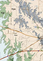
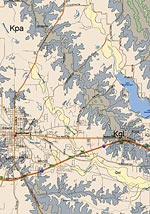
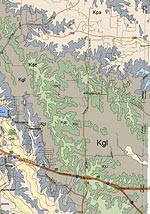
The source geological map used is "Geologic Atlas of Texas, Dallas Sheet" - Bureau of Economic Geology, 1987.  The map was digitally distorted in some spots to align the roads with the more accurate modern map BUT there is still some distortions and alignment is not perfect.  Colors used here are arbitrary.

Geologic Atlas of Texas - Abilene  sheet descriptive booklet (PDF file - 517k)

[The best way to print the maps is to save each large image to your computer and then print because printing from a browser may cause clipping or resizing] 

Parker county, Texas geology in 12 parts:


Geological Formations
Period: Formations: members:
Holocene Period: Qu - Quaternary undivided  
Qal - Quaternary alluvium  
Pleistocene Period: Qt - Quaternary terrace deposits  
Cretaceous Period: Kdc - Duck Creek  
Kki - Kiamichi  
Kgl - Goodland  
Kwa - Walnut Clay  
Kpa - Paluxy sand  
Kgr - Glen Rose Limestone   
Ktm - Twin mountains  
Pennsylvanian Period: IPmw - Mineral Wells IPlp - Lake Pinto
IPbr - Brazos River  
IPm - Mingus IPdv - Dobbs Valley
IPgr - Grindstone Creek IPbc - Buck Creek Sandstone 
IPbb - Brannon Bridge Limestone 1-3
IPlb - Lazy Bend IPmb - Meek Bend Limestone