Wise County, Texas

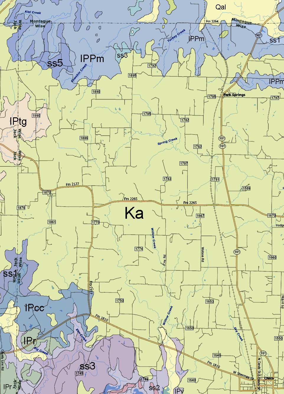
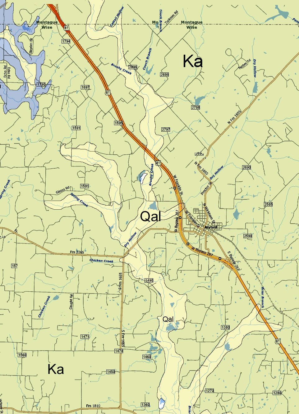
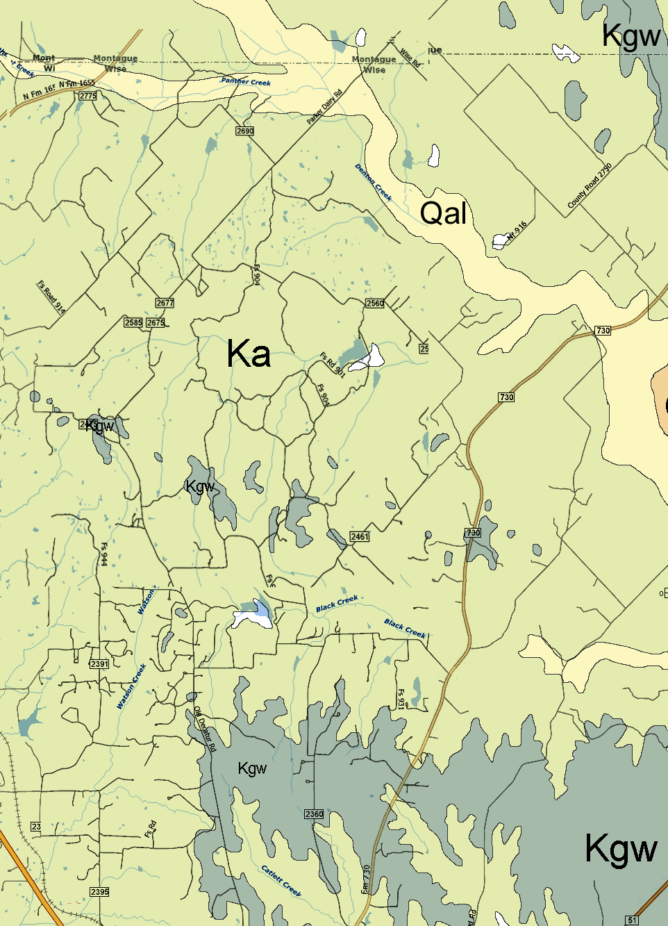
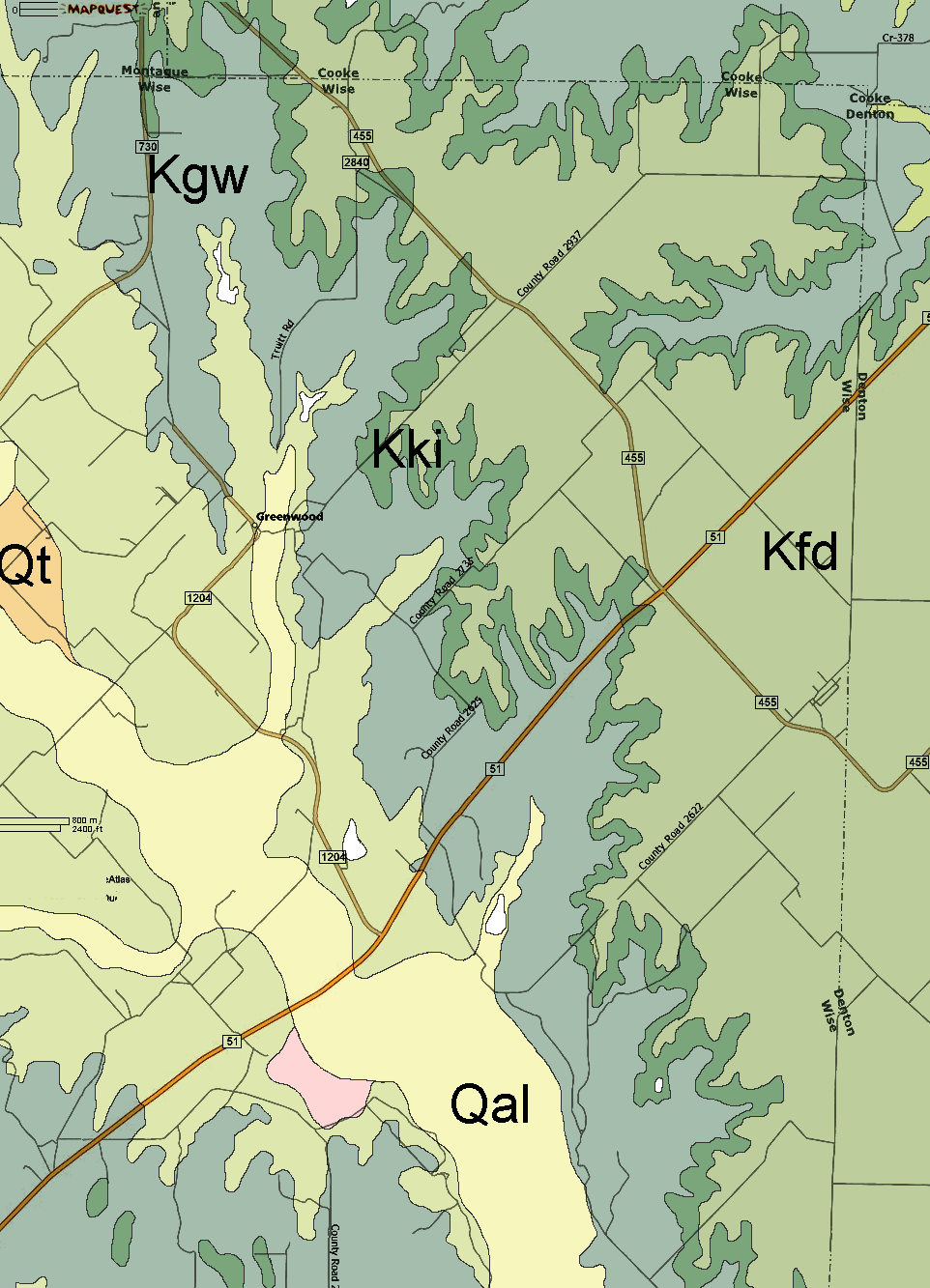
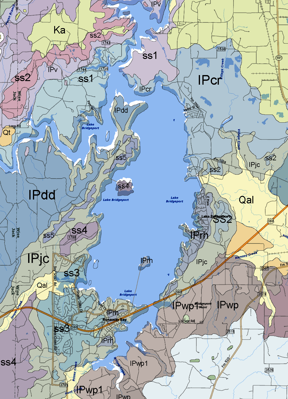
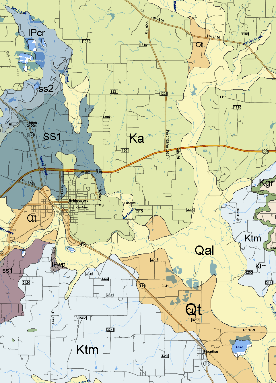
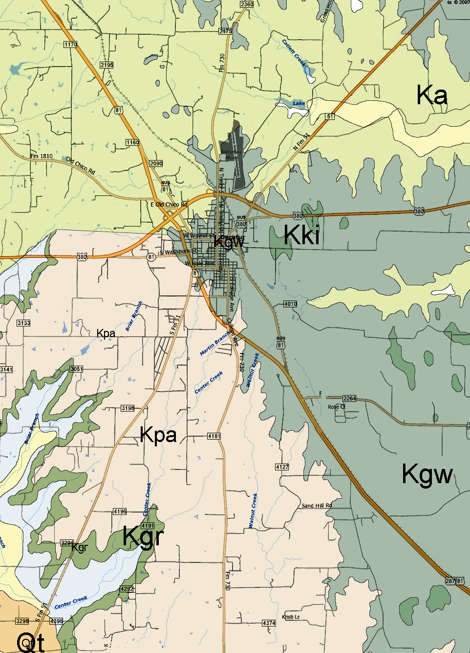
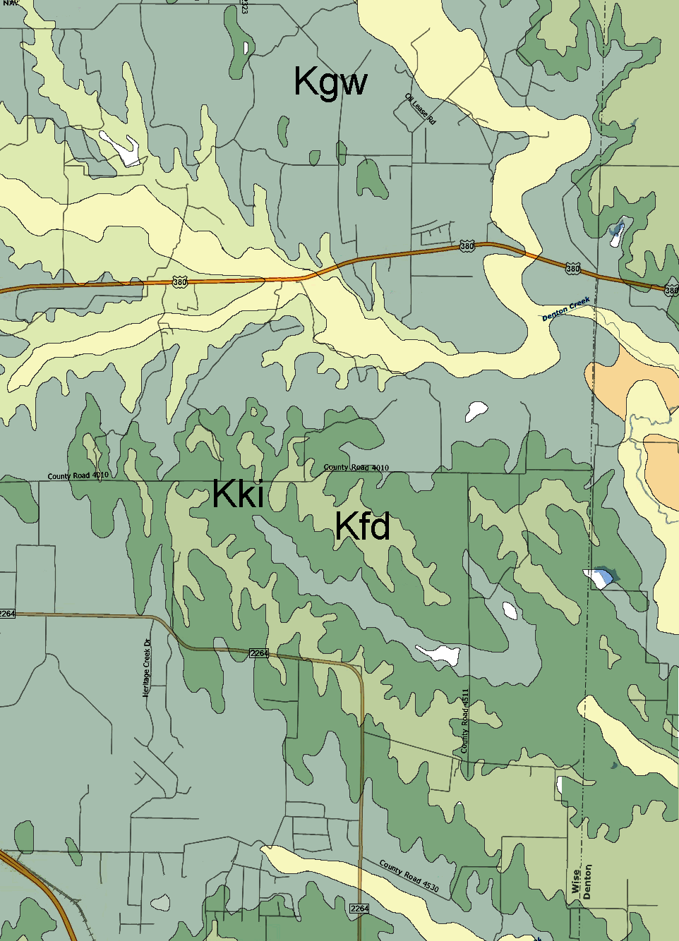
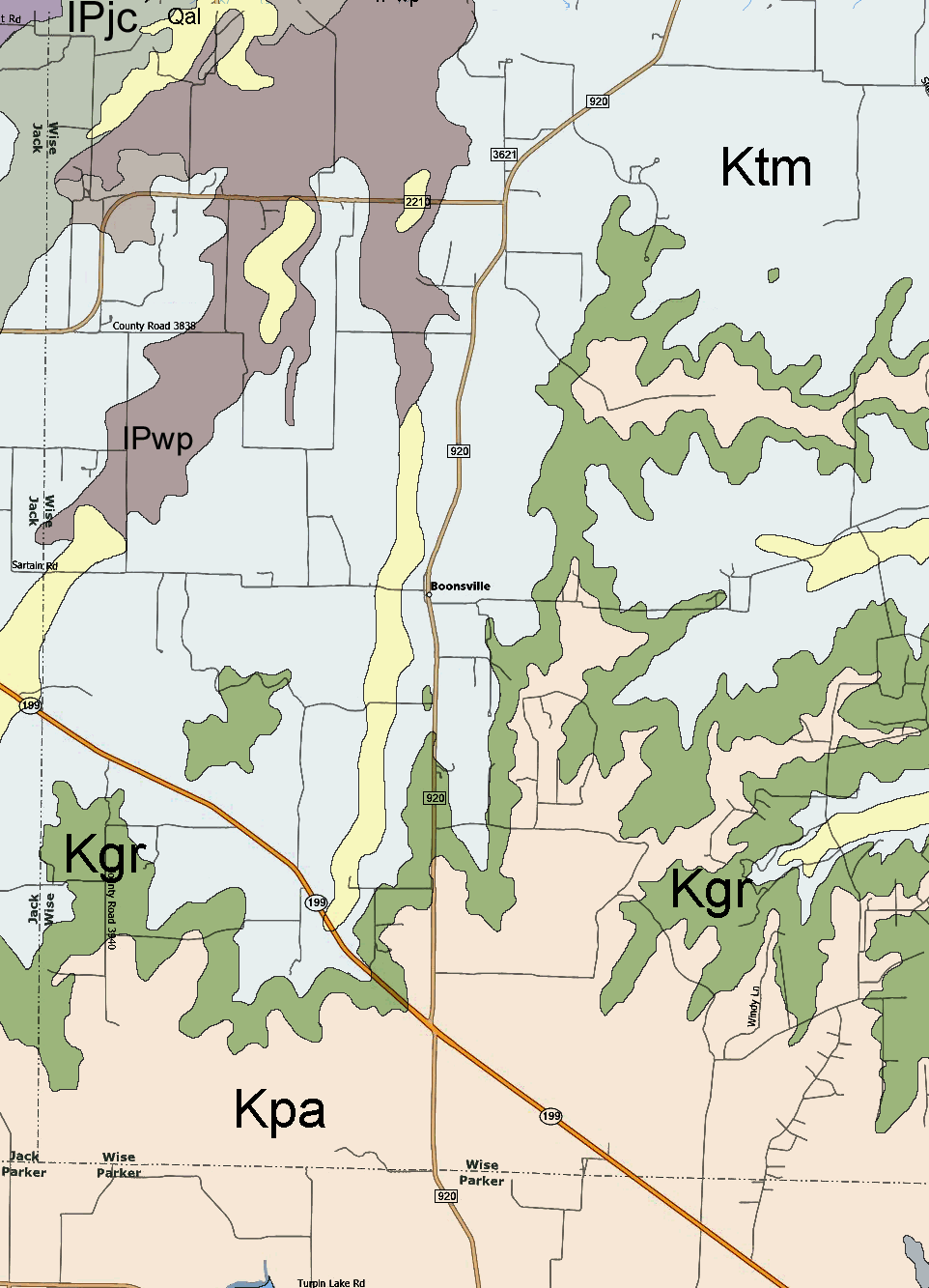
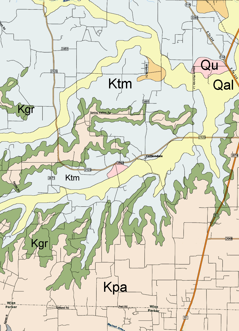
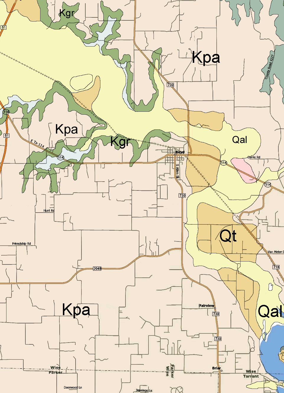
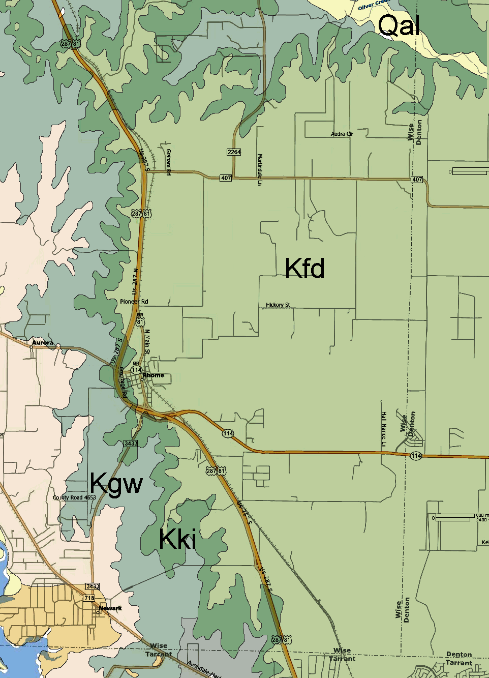
The source geological map used is "Geologic Atlas of Texas - Sherman sheet" - Bureau of Economic Geology, 1987.  The map was digitally distorted in some spots to align the roads with the more accurate modern map BUT there is still some distortions and alignment is not perfect.  Colors used here are arbitrary.

Geologic Atlas of Texas - Sherman Sheet descriptive booklet (PDF file - 260k) 

[The best way to print the maps is to save each large image to your computer and then open with the default picture viewer.  This should allow you to print each image and fill a standard 8x11 page without any clipping which may occur if printing from a browser.]

Wise County, Texas geology map in 12 parts:


Geological Formations
Holocene Period: Qal - Quaternary alluvium
Pleistocene Period: Qt - Quaternary terrace deposits
Cretaceous Period: Kki - Kiamichi
Kfd - Fort Worth & Duck Creek undivided
Kgw - Walnut & Goodland undivided 
Kpa - Paluxy Sand Ka - Antlers Sand
Kgr - Glen Rose
Ktm - Twin Mountains
Pennsylvanian Period: IPjc - Jasper Creek shale ss5-ss1 - sandstones
IPcr - Chico Ridge limestone IPdd - Devil's Den limestone
IPrh - Rock Hill limestone
Lake Bridgeport shales
IPwp - Willow Point ss1 - sandstone