|
The Geology of Texas - Vol. 1
MAINSTREET FORMATION
Nomenclature. -- The formation was named by Hill (788, pp.
302–303, 330–331) in 1894, the type locality being on East Main
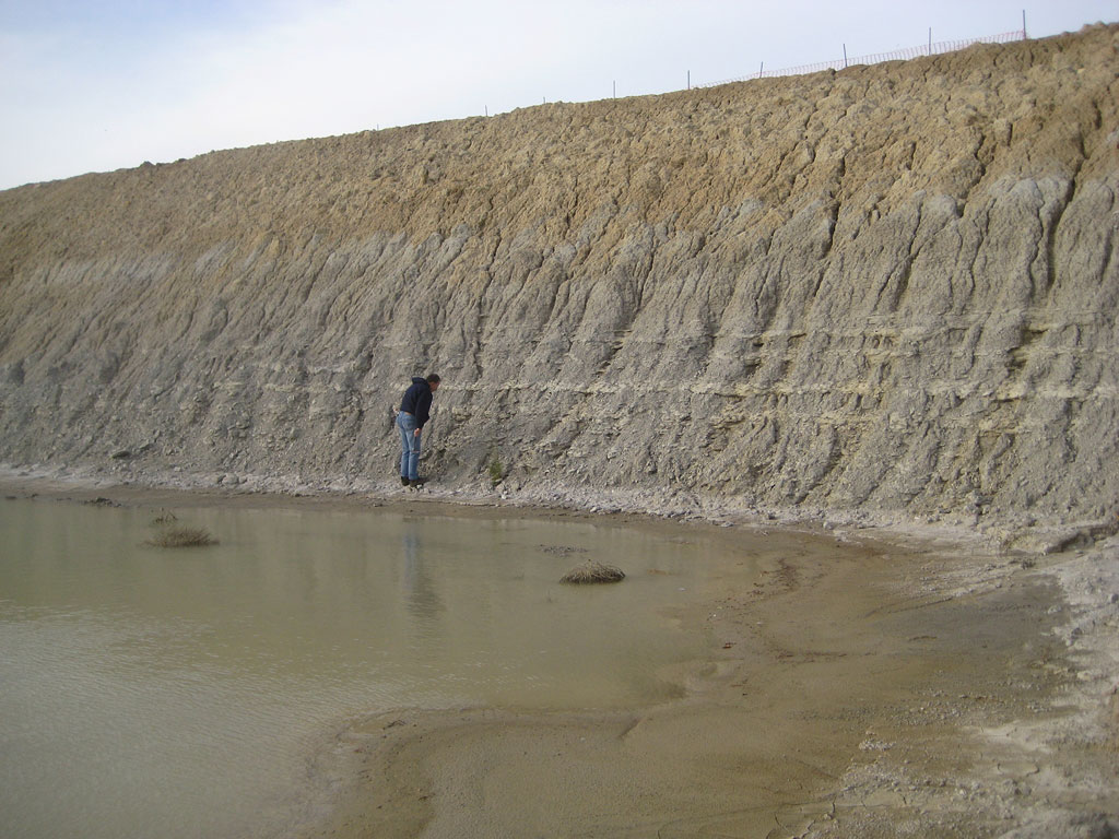
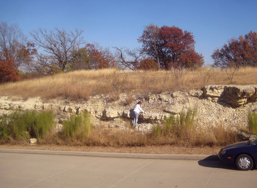
Street, Denison, Texas. The formation is exposed in a cut at the St. Louis
and San Francisco Railway station, and in cuts of Pawpaw Creek and of
railways within the city limits. Synonyms: Choctaw limestone, (Cragin,
325) "; Bennington limestone (Taff, Atoka folio No. 79, p. 6, 1902) ;
"Exogyra arietina" limestone (Taff, 1575).
Stratigraphic position and contacts.--- Stephenson places an
unconformity (?) at the base of the Main Street, and describes the basal
stratum as follows: "Greenish-gray, sandy, calcareous, clay marl with
scattered white clay pebbles and ferruginous concretionary clay nodules
along the base, some of which suggest having been mechanically included
.... 1.25 to 1.5 feet." The Main Street-Grayson contact has not been
well investigated, but is possibly conformable.
Facies.--- Three main facies are known: (1) the usual marl-lime
facies, in southern Oklahoma, and in Grayson and Cooke counties; (2)
rudistid caprock, as near Fort Stockton; and (3) red sandstone-quartzite
with fossils, at El Paso.
41Literature.—North-central Texas:
Hill, 803; Stephenson, 1530; Winton, 1789. South-central Texas: Cuyler,
383; Hill, 803; Taff, 1575. Trans-Pecos Texas: Adkins, 12; Böse,
129. Paleontology: Roemer, 1331; Cragin, 325; Adkins and Winton, 9;
Adkins, 13; Scott, 1389.
* Hand-written notation by Professor Cragin: date of publication, April 5,
1895. See also: Cragin, Am. Geol., 16: 165, footnote, September, 1895.
Areal outcrop; local sections.--- Taff says that the Main Street
is about 10 feet thick in Bryan and Marshall counties, Oklahoma. In
Marshall County (174, p. 44) it is 10 to 20 feet thick, and consists of
heavy-bedded, brown, hard, semi-crystalline limestone with subordinate
interbedded layers of marl. There is almost as much marl as limestone in
most sections. The limestone is more massive, and the marl more reduced,
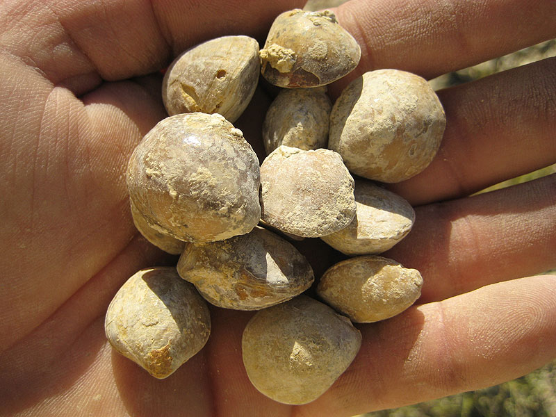
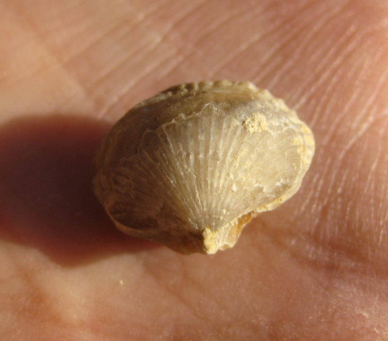
near the base of the formation. As farther south, Kingena wacoensis is
common in the basal part, and Exogyra arietina is common in the
upper part. In Grayson County it is 8 to 23 feet thick, and around Denison
about 9 to 12 feet thick. In the railway cut, 3 miles west of the Union
Station at Denison, Stephenson measured 8ľ to 9 feet of irregular layers
of limestone underlain by a massive limestone ledge, which rests on a clay
marl with apparently rolled pebbles at its base. In a head-waters branch
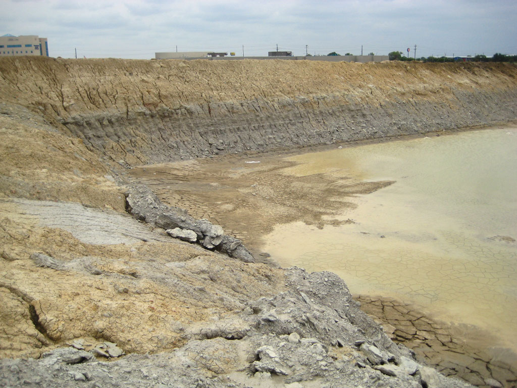
of Pawpaw Creek, just east of the underpass under the Missouri, Kansas and
Texas tracks south of the Union Station at Denison, Stephenson recorded
9.5 to 10 feet of Main Street, consisting of an upper 8 feet of irregular
nodular limestone strata interbedded with soft yellow marl layers, and a
lower 1.5 to 2 feet of gray, faintly laminated sandy marl with evidences
of unconformity at its base. At the Choctaw Creek bridge on the
Denison-Bonham road, the Main Street is 17 feet thick, all limestone. In
the Pottsboro cut-off, about 4 miles west of Denison, it is 11 feet thick;
1 mile south of Fink it is 13ľ feet thick, and at another nearby
locality, about 8 feet thick; in Rock Creek, northwestern Grayson County,
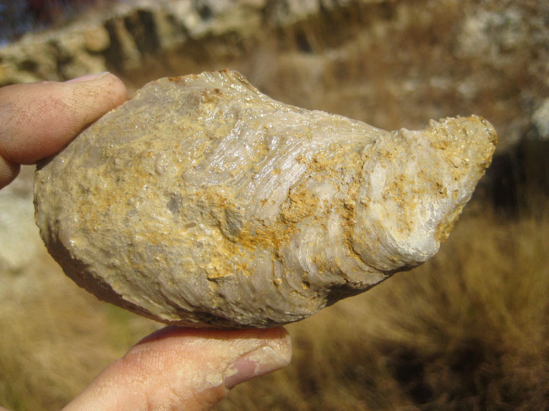
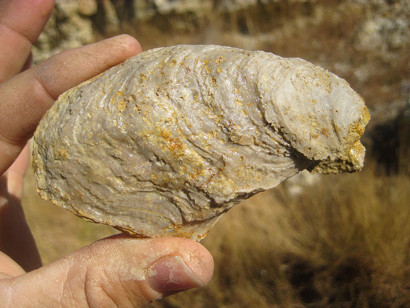
it is 23 feet thick. The basal part contains Alectryonia quadriplicata,
its highest occurrence. The Main Street is generally coarsely
crystalline, bedded, brecciated white limestone, which because of its
ferruginous content turns deep yellow or yellow-brown on oxidation and
hydration. Both marls and lime-stones are locally somewhat sandy. In a
railway cut in the eastern part of Denison, an excellent exposure of the
topmost Main Street layer in contact with the Grayson, contains many
fossils. On the trestles of the Missouri, Oklahoma and Gulf Railway across
the small headwaters of Pawpaw Creek, about a mile east of Denison, there
are fossiliferous Grayson exposures with the Main Street contact exposed.
In the extreme northeastern corner of Cooke County, 2 miles west of
Dexter, the Main Street is a bed of light-blue limestone 10 to 15 feet
thick (803, p. 282).
On passing south, the Main Street changes in thickness and in lithology.
In northern Denton County it is 14 to 15 feet thick, in the southern part
of the county about 20 feet. In the Clear Creek section, 5 miles northeast
of Denton, it is 17 feet thick. The heavily iron-stained, massive, thick
ledges of the Red River section give way in Denton County to a limestone
almost indistinguishable from the Fort Worth limestone: the limestone
strata are thinner, more evenly bedded, whiter, and alternate with
light-colored marls.
In Tarrant County the Main Street increases from 25 to about 50 feet from
north to south; in Johnson County it is nearly 50 feet. From Denton County
southwards, the Main Street forms conspicuous and extensive upland
prairies, next in size to those of the Fort Worth limestone. Good and
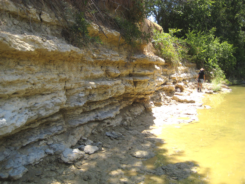
nearly complete sections of the formation occur in Buffalo Creek at
Cleburne, along Deer Creek between Burleson and Crowley, and near Crowley.
From Hill County southwards, the Main Street becomes thinner, and past
Bell County is consolidated with other members into the top of the
Georgetown limestone. In southern Hill County, west of Aquilla, it is
about 35 feet thick, in McLennan County about 25 feet, and in Bell County
about 20 feet. A few feet is recorded at Austin. Its thickness in the
lower Pecos Valley, where the George-town is thick, is unrecorded. Over
its thinned southern extension, it maintains its typical facies and fauna:
Turrilites brazoensis, Exogyra arietina (in the top), and Kingena
wacoensis.
An important part of the Main Street is the upper few feet, which form
the "transition zone" to the overlying Grayson. Some
misunderstanding of this portion is evident in the literature. In Grayson
County the Grayson is at many places badly overwashed, and the Main Street
is full of Exogyra arietina from bottom to top; in Travis County
the Main Street limestone is reduced in thickness and is inconspicuous,
and the Grayson (Del Rio) is full of Exogyra arietina. Those
writers who considered Exogyra arietina to be diagnostic of a
single formation correlated the Main Street with the Del Rio (and as a
further deduction, the Grayson with the Buda). Speculatively the Woodbine
has also been correlated with the Buda. To establish a correlation between
these formations, the best starting point is the "transition
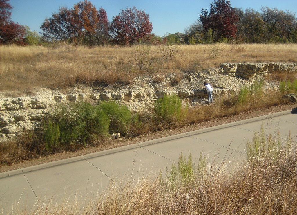
zone" at the Main Street-Grayson contact. This is well exposed at
Shoal Creek and 18th Street, Austin; at the fault a mile east-northeast of
Georgetown; on Lampasas River 4ľ miles east of south of Belton; at
numerous places near South Bosque; at Grayson Bluff northeast of Roanoke;
and in a railway cut a half-mile southeast of the Union Station at
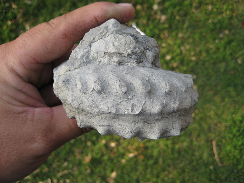
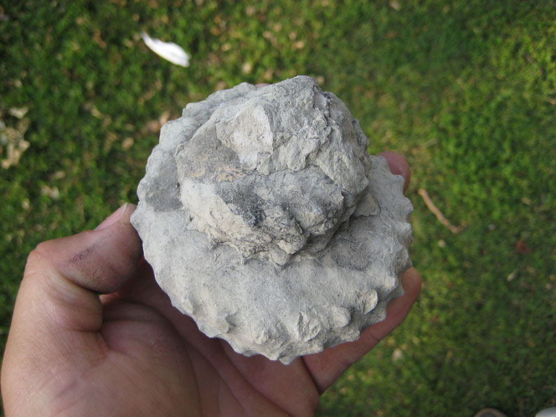
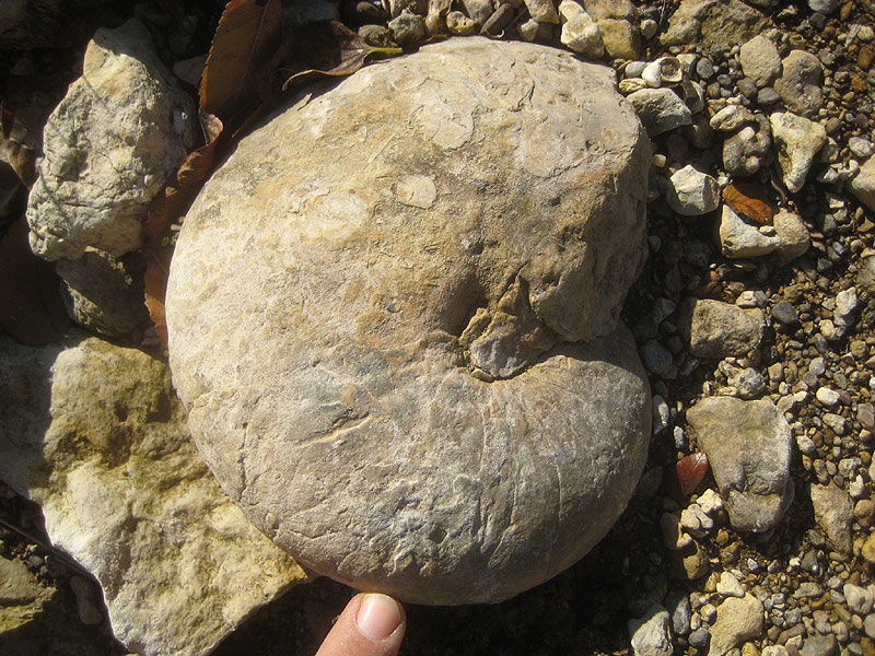
Denison. Persistent and abundant fossils in the zone are large. Typical
specimens are Turrilites brazoensis, Exogyra arietina, Kingena
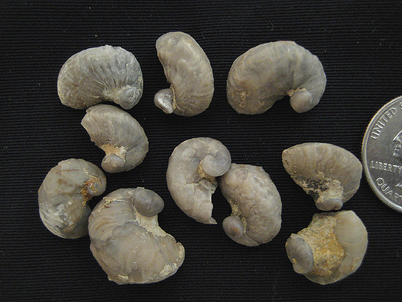
wacoensis (basally), Stoliczkaia n. sp. (numerous fine ribs),
and Mantelliceras two n. spp. ("Acanthoceras aff. canningtoni
" Böse). Study of this persistent level indicates that it is
identical throughout its range. It everywhere overlies hard Main Street
limestone and underlies Grayson marl or clay. This indicates that the
Grayson and the Del Rio are at the same level at their base, and the
pyritic micromorphs are the same, from Denton County to Del Rio and
Terlingua.
The Main Street in the Fort Stockton area is a rudistid caprock,
containing many of the reef-dwelling genera found in the middle caprock.
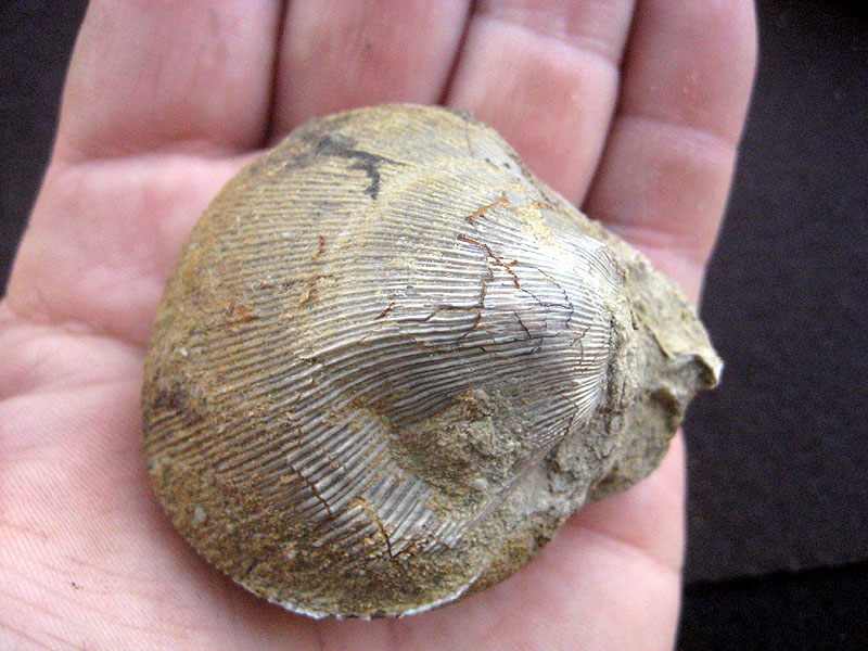
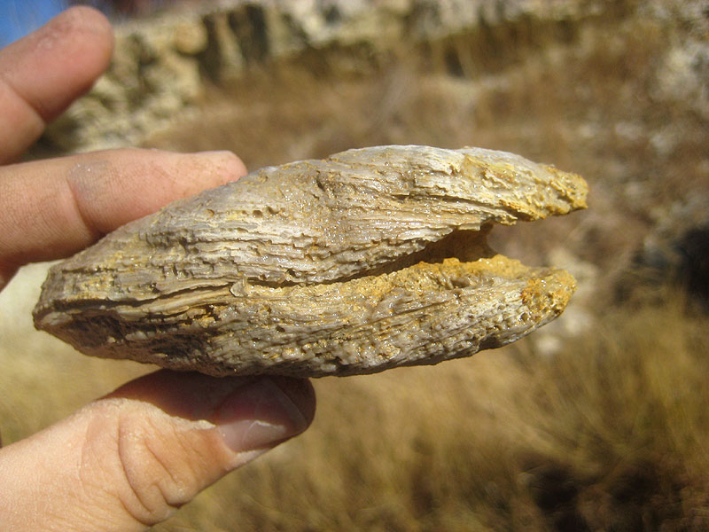
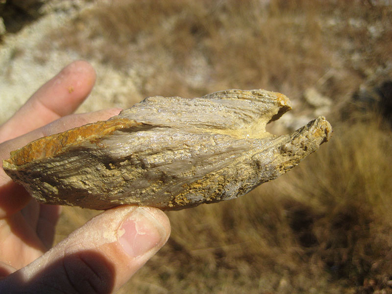
At Kent it is neritic limestone, with banks of Exogyra arietina. At
El Paso it is a thick, red-brown quartzite, evidently a marginal facies,
containing in the upper part in thin, shaly layers, poorly preserved Exogyra
arietina, Exogyra whitneyi? (juvenile), and Hemiaster calvini.
Paleontology.--- The Grayson is one of the most distinctive Comanchean
formations. As Hill and Cragin pointed out, it and the Main Street stand
out from the lower and middle Washita faunally. The last quadrituberculate
and compressed Pervinquieria occur in the Main Street; none is
known from the Grayson. Stoliczkaia, already appearing in the
Denton, has several species in the Main Street and Grayson. Prohysteroceras
and Macraster have not been reported from above the Pawpaw. Mantelliceras,
a Cenomanian genus, appears in the "transition zone." The
dying out of Albian genera lends to this boundary the appearance of
considerable change; the fact that the section is probably fuller here
than at many localities published elsewhere makes the placing of the
boundary more difficult; on the other hand all sections now require closer
zonal study. Turrilites brazoensis is a practical marker for
the Main Street.
Scott (1389) correlates the upper Washita, including the Main
Street, with the Upper Albian in Europe, which he claims is greatly
extended in Texas. It is possible that the Main Street contains a fuller
development of zones than the Upper Albian in England and France, a
situation which would make the Albian-Cenomanian boundary hazier in Texas
than in western Europe.
It is significant that the highest "Pervinquieria" in Texas
occur in the Main Street. However, the Buda and apparently the Grayson are
distinctly Cenomanian in fauna. This correlation awaits more extensive and
accurate zonal studies. |
 [+]
[+]
 [+]
[+]
![[+]](fieldtrips/2010-12-05/2010-12-05-010-800.jpg)
![[+]](fieldtrips/2009-08-22/2009-08-27-015-800.jpg)