|
Fusulinidae of the Winchell Formation, Texas
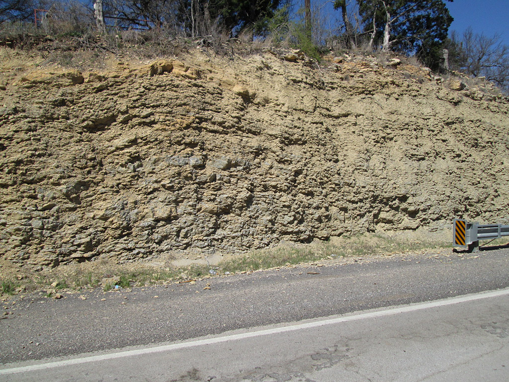
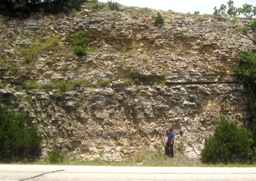
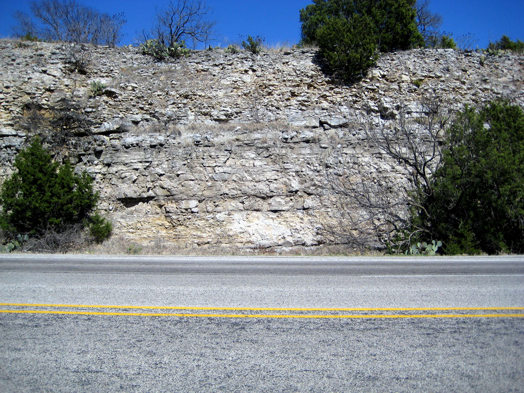
" The Winchell Formation is the thickest and best exposed
limestone unit in the Canyon Group and separates the Wolf Mountain Shale
from the Placid Shale in the Canyon type area. The Canyon type area is
included in the southernmost portion of the index map of Palo Pinto,
Stephens and Wise counties. Northeastward of the Brazos River the Winchell
Limestone grades laterally into shale and sandstone, leaving the overlying
Placid Shale resting directly on the underlying Wolf Mountain Shale.
" It was first mapped as the Graford limestones by Plummer
(1919), and subsequently called Adams Branch by Plummer & Moore
(1921), because of its apparent equivalency with the Colorado River Adams
Branch. The unit was later named Merriman by Plummer & Hornberger
(1935). It was correlated into the Brazos River valley by Cheney (1910),
and by Feray & Jenkins (1954). Its formational status was
formally given by Eargle (1960), a use followed by Laury (1962).
"
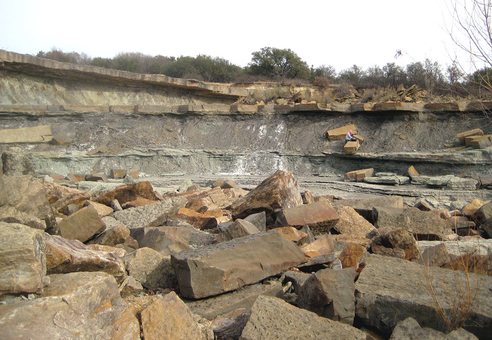
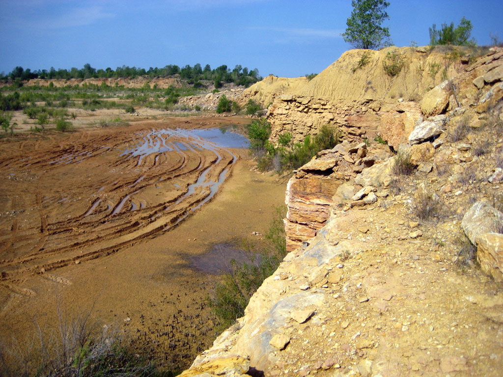
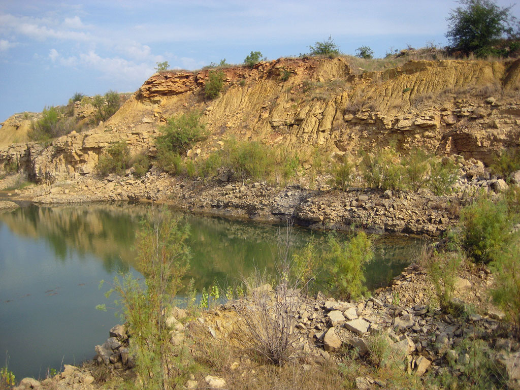
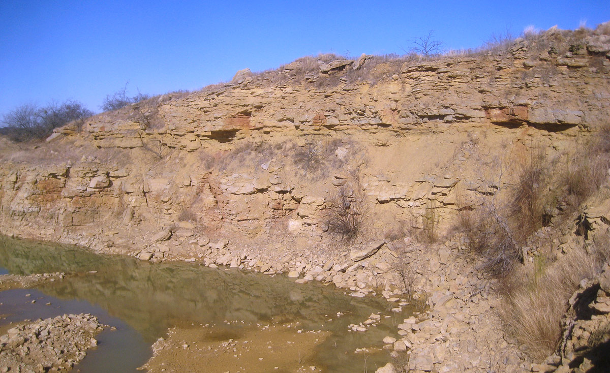
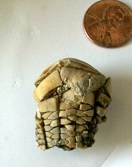
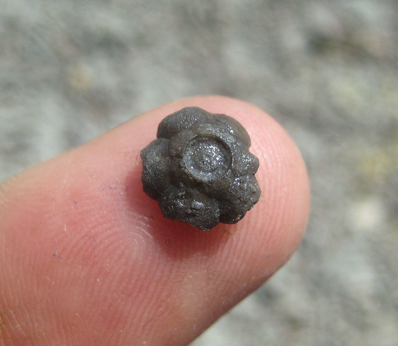
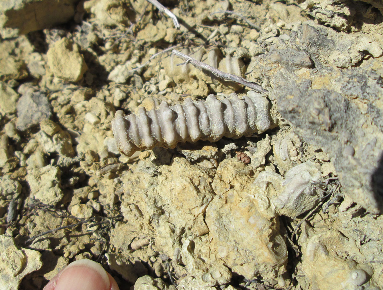
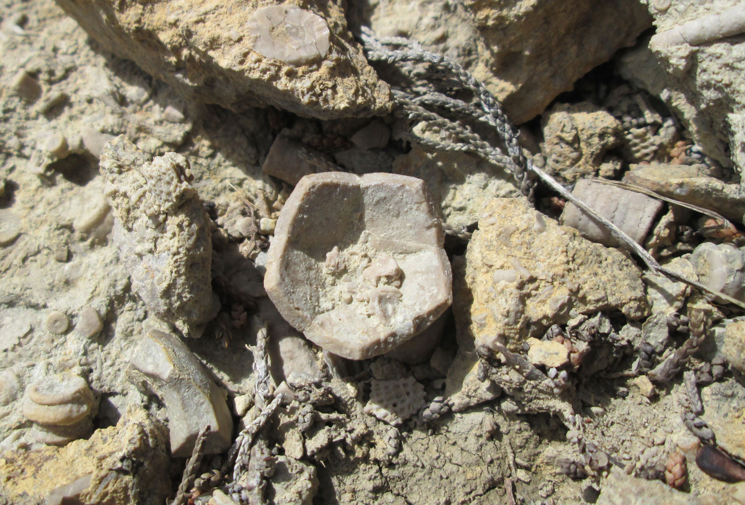
" Chico Ridge Bioclastic Bank.-- Northeast of the Jack County
clastic facies, on the western and eastern shores of Lake Bridgeport in
Wise County, is a limestone body informally referred to as the Chico Ridge
Bioclastic Bank but formally called the "Winchell Limestone". A
maximum thickness of 300 feet has been reported in Wise and Montague
counties (Scott & Armstrong, 1932). "
|


 [+]
[+]
![[+]](fieldtrips/2010-09-26/2010-09-26-0983.jpg)