|
The Geology of Texas - Vol. 1
WALNUT FORMATION
Nomenclature. -- The Walnut clays were named by Hill (772, p. 512;
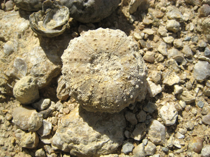
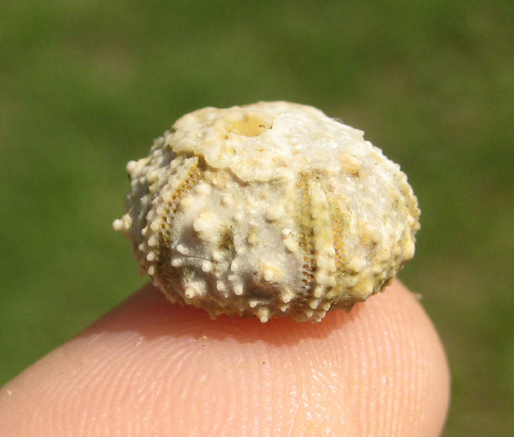
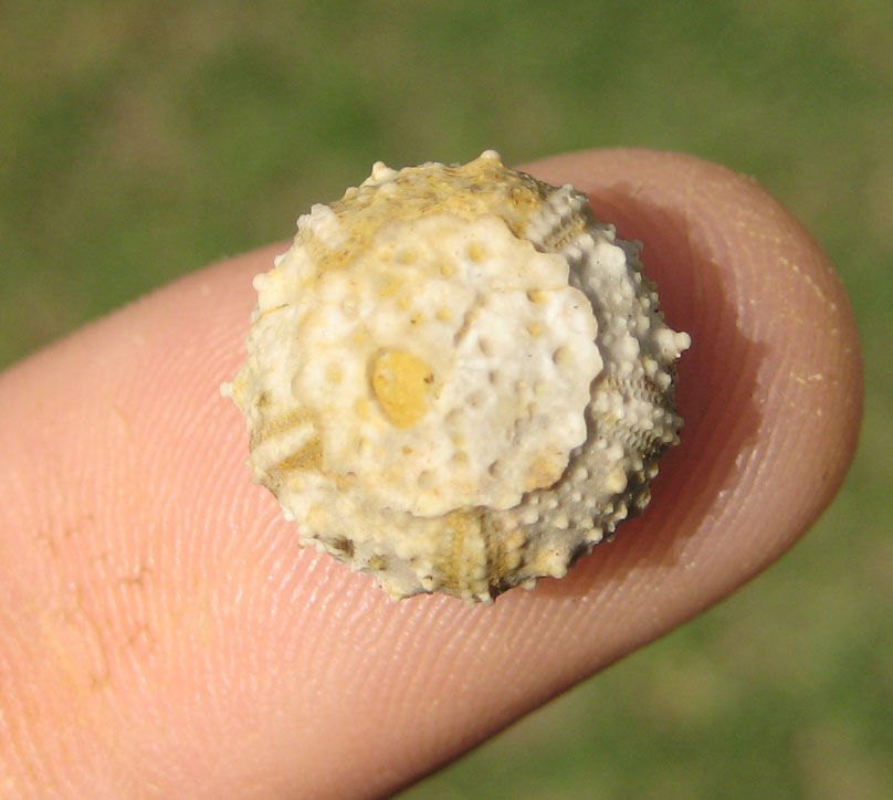
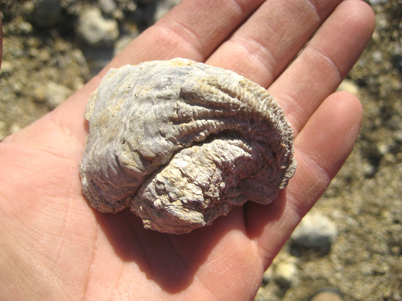
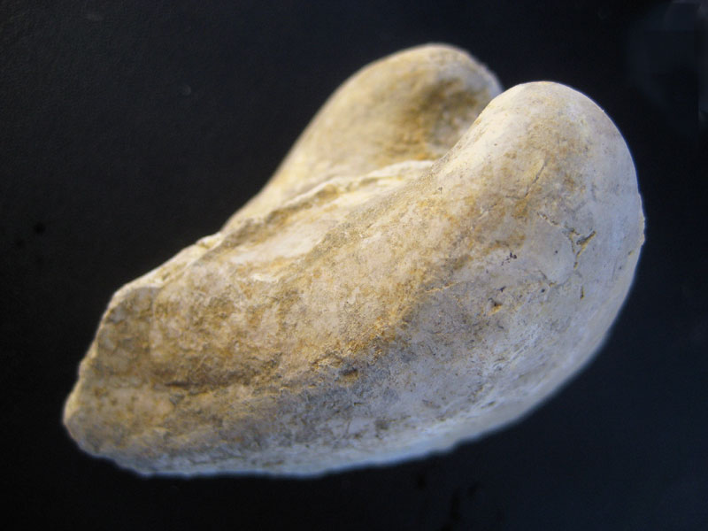
780, p. 86) to indicate the yellow clays, flaggy limestone, and shell masses
of Exogyra texana and Gryphaea marcoui, lying above the
Paluxy sands near Comanche Peak. The type locality is at Walnut Springs,
Bosque County.
Stratigraphic position and contacts.—In north-central Texas the
basal part of the type Walnut is invaded by sand, up to the level of the prominent
Gryphaea marcoui shell aggregate, and the basal portion is thus
indistinguishable from Paluxy sand. It is therefore probable that, north
of Fort Worth, some Walnut sand may be included in the Antlers
formation; at least the upper Antlers contains Exogyra texana and Ostrea
crenulimargo, which are known from the Fredericksburg group. The
Walnut-Comanche Peak contact is apparently conformable. In the southern
part of the Edwards Plateau and in northern Trans-Pecos Texas, the
Walnut is either reduced locally to an insignificant "break" (receding
ledge) less than 1 foot thick, or else is not positively identifiable.
In the southern Pecos Valley, the underlying formation is Glen Rose limestone,
but near Fort Stockton it is the basement sand. These contacts appear to
be concordant, but whether they are conformable has not been
discovered.
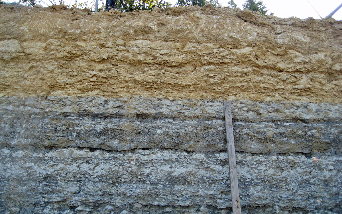
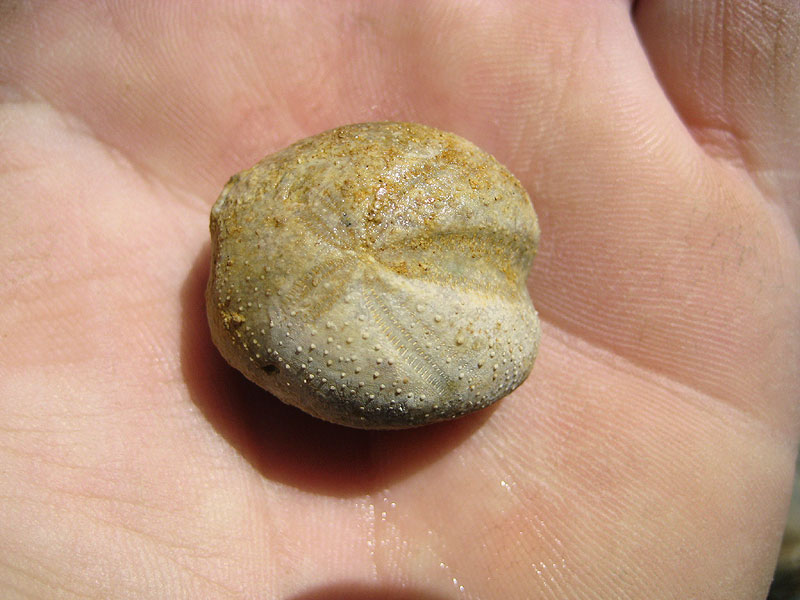
Facies. -- The formation is in the neritic facies over most of its
extent, and consists of clays, limestone seams and shell aggregates.
From Fort Worth to the Red River valley its basal part is sand;
this is possibly true at places in Trans-Pecos Texas, as at Kent.
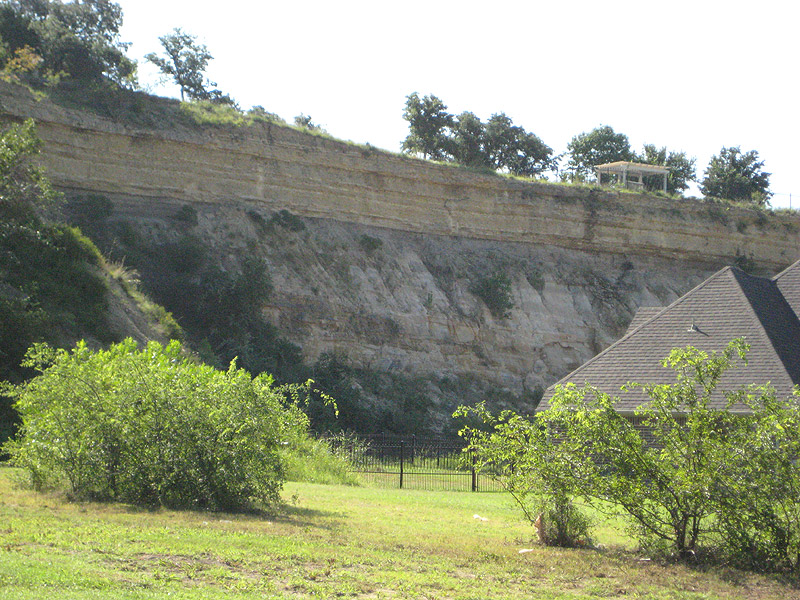
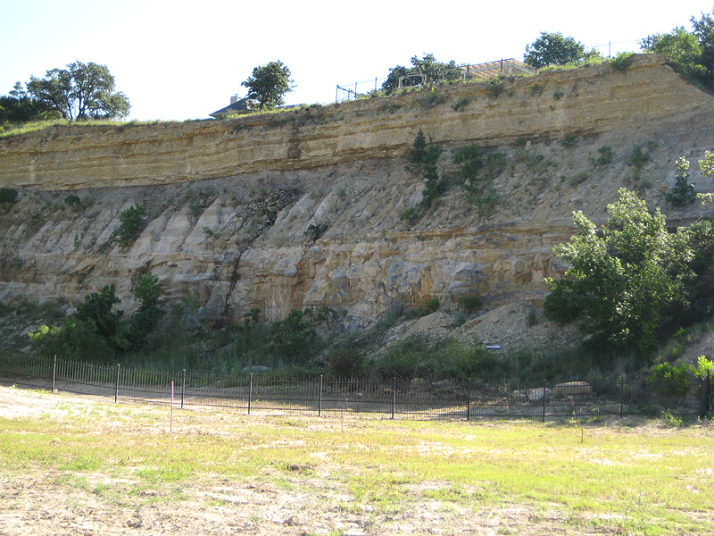
Areal outcrop, local sections.--The section near the type
locality represents only an extreme of the Walnut formation in Texas. To
the north the base rapidly becomes sandy, and the only persistent
feature is the aggregate of Gryphaea marcoui shells; to the south
the oyster shell beds first became unconsolidated (in Williamson
County), and then vanish, leaving only an insignificant and
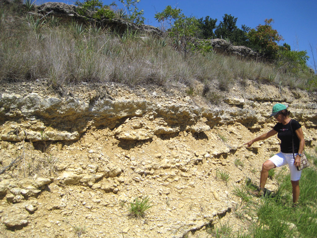
indistinctive marl, containing scattered oyster shells and few or
no diagnostic markers, and, finally, in the southern part of the Edwards
Plateau, only a thin "break" or receding ledge.
Near Goodland, Oklahoma the probable equivalent of the Walnut is 3 to 6
feet of persistent, hard, thin, coquina-like limestone, with interbedded
thin layers of dark marly shale (1530, p. 135). On Red River, north of
Gainesville, the Walnut is represented by 4 feet of marly clay containing
Exogyra texana and Gryphaea marcoui (189, p. 15). Near
Marysville, the Walnut consists of a small thickness of marl and marly limestone
with the usual fossils. At Preston, and in Little Mineral Creek, Grayson
County, the Walnut is represented by a few clay layers containing Exogyra
texana (803, p. 208). The difficulties in mapping and identifying
the Walnut in this district have been most clearly realized and
expressed by Winton (1791, pp. 16-18) in treating the Denton County
area. The top of the formation is a widely persistent, consolidated, and
mappable Gryphaea marcoui shell aggregate, 16–18 feet thick.
Under this cap are sands, sandstones, and a few clay seams, which continue
down to a coarse red sandstone (Paluxy), which lithologically is
distinguishable from the finer-grained and lighter-colored Walnut sands.
On the Clear Fork of the Trinity west of Fort Worth, the shell aggregate
of the Walnut is 5 to 8 feet thick, and is underlain by about 100 feet
of Walnut sands. At Decatur (803, p. 203), the Walnut is about 27 feet
thick, with only a thin shell agglomerate at the top. Wells in Tarrant and
Johnson counties show about 100 feet of Walnut, with some water sands.
Logs of Dallas County wells indicate 50 feet or more of the formation.
In Johnson County, both outcrop and wells indicate a thickness of about
100 feet, of which the upper 25 feet is shell aggregate and the lower
part mostly soft light-colored sands, with a few thin ledges of grayish
sandstone, which form a water reservoir of small volume (1790, p.
20). At Comanche Peak, the formation consists of 30 feet of shale, marly
limestone, and sands (803, p. 209) . Various wells in eastern Hill
County show 145–215 feet of Walnut; in western Hill County, 120–135
feet.
|

