|
The Geology of Texas - Vol. 1
WOODBINE GROUP
Nomenclature.--- The first description of Woodbine47
strata was published by B. F. Shumard (1474, p. 140) in 1863, when he
announced the discovery of dicotyledonous leaves (Salix, Ilex,
and Laurus) in yellowish sandstones and bluish shales in Lamar
County, and correlated the beds with the Dakota of Meek and Hayden. He
correctly placed these strata below his "Marly clay or Red River
group" (Eagle Ford). The Lower (Eastern) Cross Timbers belt,
underlain by the Woodbine formation, was noted by early travelers and was
described by William Kennedy (902a) in 1841. It was mapped by R. H.
Loughridge (1017) in 1884 for the tenth census.
Hill in 1887 described the Lower and Upper Cross Timbers belts more
minutely and gave the name "Timber Creek group" (731, pp. 296,
298, 300) to the formation now called Woodbine. In 1891 he pointed out the
value of these beds as an artesian reservoir (780, pp. 69–70). The
formation was first called "Woodbine" by Hill in 1902 (803, p.
292), the type locality being near Woodbine, eastern Cooke County, Texas.
The Woodbine, formerly called a formation, is here considered as a group,
and consequently units, as Lewisville and Dexter, formerly vaguely called
"beds," are here considered formations.
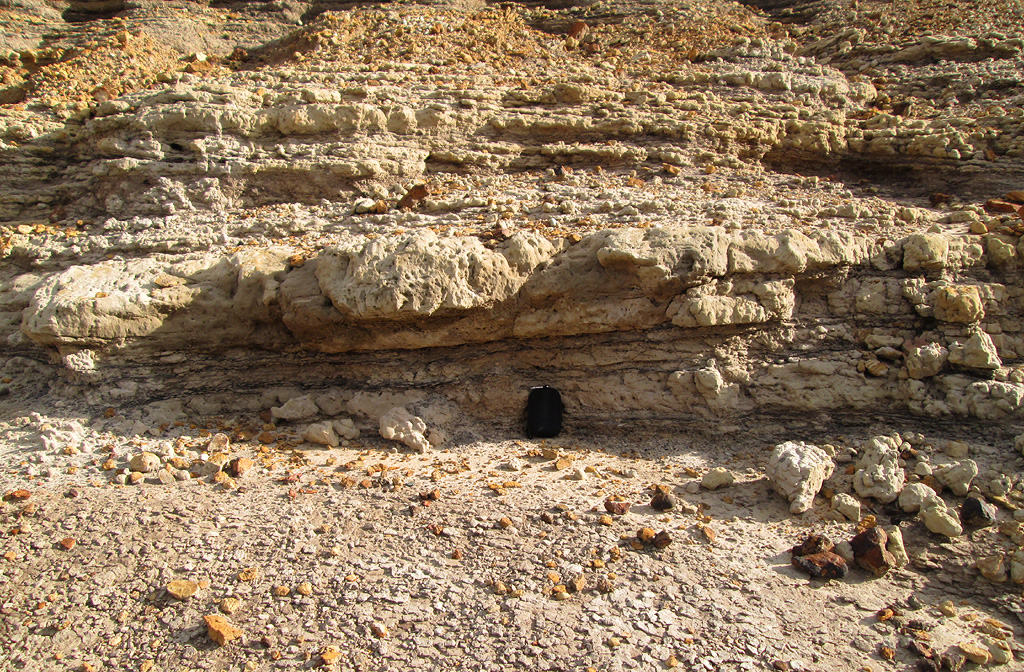
Stratigraphy and contacts.--- Both the lower and the upper contacts
of the Woodbine are unconformable at many places, but further study is
required before it can be stated that they are everywhere unconformable.
Basal contact.--- On the outcrop north of Bosqueville, McLennan
County, the Buda limestone is absent, and the Woodbine everywhere directly
overlies the Grayson. At Bosqueville a thin remnant of Woodbine overlies
about 2 feet of Buda limestone. South of this point the Woodbine is
absent, unless it should prove to be represented by the thin Pepper shale
lying beneath the Tarrant flaggy limestone and unconformably above the
Grayson or Buda. In the El Paso district a sandstone in the position of
the Woodbine (Dakota) overlies the Buda. Gulfwards from the outcrop, the
formation underlying the Woodbine is reported as a clay of the
stratigraphic position of the Grayson, in Fannin and Lamar County wells
and in the East Texas embayment.
At certain places the upper formations of the Lower Cretaceous are
removed, and the Woodbine rests on lower formations. This situation exists
eastward from Grayson County. Thus at Cedar Mills, Grayson County (177,
pp. 49–50; 1575, pp. 282, 295; 1391; 1539, p. 1327), a massive 10-foot
stratum of Woodbine sand with a layer of hematite concretions in its base
directly overlies Grayson marl, which is reduced to only 2 feet in
thickness. This occurrence may represent the subsequent planation of the
top of the Washita group, which becomes more pronounced farther east, for
in passing down the Red River valley the Comanche series is beveled off
and the Woodbine rests on successively lower formations. Thus at
Cerrogordo, Arkansas, the Woodbine rests unconformably on Kiamichi clay,
and farther east, on Trinity sand. Scott (1820, p. 2) denies any visible
unconformity at the base of the Woodbine from Red River southward to Hill
County, but the contact at most localities is invisible because of
overwash. A second area in which the Woodbine (Dakota) rests unconformably
on lower Washita rocks is in Dallam County in the northern Llano Estacado.
Here, as C. L. Baker has recently reported, sands lithologically referable
to the Dakota directly overlie shales and sands of probable Purgatoire
age. At localities in an adjoining county, Cimarron County, Oklahoma, the
Purgatoire contains typical Duck Creek ammonites but lacks fossils known
to be from any higher level.
Upper contact.--- No discordance of dip at the Woodbine-Eagle Ford
contact is suggested in sections made at Bear Creek, western Dallas County
(1575, p. 292), Walnut Creek, Tarrant County (1575, p. 292) and Chambers
Creek, Johnson County (1575, p. 302). However, Stephenson (1539, p. 1327)
considers that at most places from Tarrant County southwards where the
contact has been examined, an unconformity is indicated by the sharp
lithologic change and by the presence of mechanically reworked material in
the base of the Eagle Ford. He says: "At several localities in
Johnson and Hill counties water-worn sandstone pebbles as much as 2 inches
in their longest dimension were observed in this basal bed, and in a new
road cut a mile northeast of Tarrant station, Tarrant County, the basal
bed of the Eagle Ford beneath beds carrying Acanthoceras aff. A.
rotomagense Defrance consists of a hard conglomerate containing many
dark phosphatic pebbles and some fish bone fragments, resting on Woodbine
sandstone."
------unconformity------
Grayson clay (Buda at Bosqueville, McLennan County). Facies.---
As will be pointed out in the discussion of the Wilcox group, Woodbine and
Wilcox show many similarities in types of materials and in probable
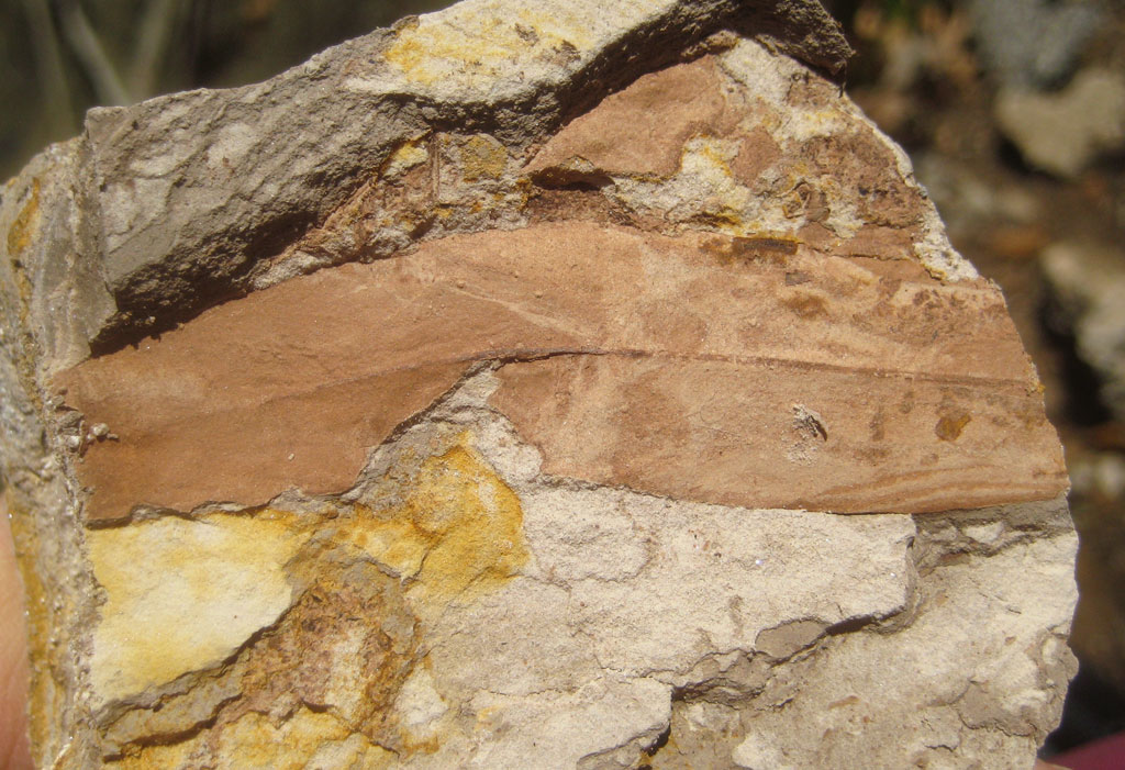
depositional history. The Woodbine group begins with a thin, fine grained,
mostly non-calcareous clay, which is marine and fossiliferous at least in
Tarrant, Bell, and Travis counties. The reservations must be made,
however, that these clays have not all been proven contemporaneous with
each other, nor has their Woodbine age been proved. The one in Bell County
unconformably overlies Grayson clay. They are likely all near-shore
deposits. They are succeeded by the Dexter sand. This formation consists
of water-bearing pack sands and locally of indurated sandstone layers,
some of which form the caps of the various Brushy Knobs along the Woodbine
outcrop from Hill County north-ward to Grayson County. These sands are
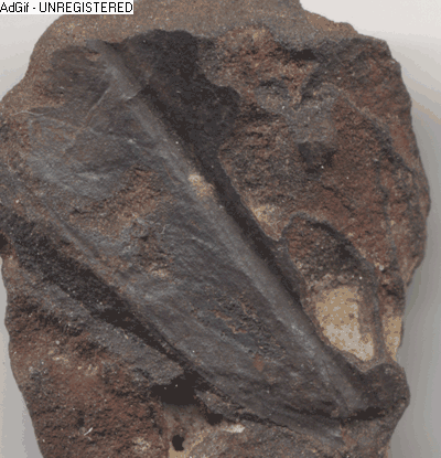
leaf-bearing and not typically marine, or at least no marine invertebrates
have been recorded from them. Eastward from Hyatts Bluff, Fannin County,
Woodbine clays contain much decomposed volcanic material (1113a, 1353),
and may represent outwash on a rather flat depositional plain, but may be
in part marine because they are closely associated with beds containing
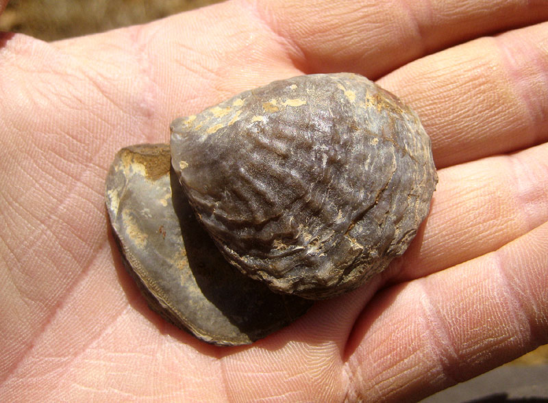
invertebrate fossils (Ostrea soleniscus?, Metoicoceras, Metengonoceras).
These beds are suggested to be of upper Woodbine age (1353, p. 198). The
Lewisville beds are a near-shore sandy deposit and contain marine fossils.
The upper black, lustrous clays contain oysters, and are a near-shore,
marine or brackish, deposit. The overlying Eagle Ford is a neritic marine
deposit. On account of difficulties of correlation, the facies of the
Woodbine in the East Texas embayment is imperfectly known. The Dakota in
western Texas is supposedly non-marine.
Areal outcrop; local sections.--- The outcrop and subsurface
occurrence of the Woodbine in Texas comprise a squarish sand-clay sheet
about 120 by 180 miles in extent, occupying an area of about 21,000 square
miles. The northern and western edges of this sheet are formed by the
outcrop, from which the rocks dip gulfwards into the East Texas embayment.
The sheet is roughly bounded on the north by the Red River valley; on the
west by the interior margin of the Eastern Cross Timbers belt, which
borders the interior edge of the Black Prairie and runs from near
Gainesville to near Waco; on the south by an underground line passing
roughly from Waco eastwards to Leon County, Palestine and Nacogdoches; and
on the east by a line roughly paralleling the western edge of the Sabine
uplift (see fig. 22).
The Woodbine outcrops along Red River valley in a narrow southward dipping
strip from Cerrogordo, Arkansas, west to Orlena, Cooke County, Texas
(mapped in 1353, pl. 20). Thence the outcrop runs south to near Aquilla,
southern Hill County, near the Brazos (mapped in 803, Pl. LXVI). South and
east of these outcrops it dips gulfwards and is buried beneath younger
sediments (1232, 1234b). North and west of the outcrop the Woodbine has
been removed by erosion over central Texas, but remains in the El Paso
region (128a, 129), in Dallam County (6151, in Cimarron County, Oklahoma (Rothrock,
Okla. G. S. Bull. 34, 1925), and probably at other places in the Texas
Panhandle. The Woodbine has been correlated with the Dakota by C. A. White
and by later writers. It is possible that Dakota sediments covered most of
the Llano Estacado, but whether all of north Texas east of the Llano and
west of the central Texas outcrop was so covered is unknown. The extent of
the various facies and the position of the shore lines of the Woodbine
remain to be investigated.
Outcrop in Arkansas and Oklahoma.--- Two features distinguish the
Wood-bine in Arkansas and Oklahoma from that in north Texas: in McCurtain
County, Oklahoma, and eastwards in southern Arkansas, it contains much
tuffaceous material; and in Arkansas it contains near the base
considerable gravel deposits. In southwestern Arkansas the Woodbine
consists of 300 feet or less chiefly of gravel and cross-bedded sand, a
large part of which contains water-laid volcanic materials, and minor
amounts of red, dark gray and brown clay (392, pp. 17-29; 1353). The base
of the Woodbine is a gravel bed, with a maximum thickness of 60 feet,
which thins and disappears to the west. In size the material ranges from
small grains to cobbles 5 inches in diameter. The pebbles are subrounded
or well rounded. Most of them are novaculite, some are quartzite or chert,
a few are kaolinized, porphyritic igneous rock. The upper part of the
formation consists typically of sand containing gains of novaculite and
igneous rocks, and gravelly lenses and beds. The formation contains lenses
and beds of calcite-cemented sandstone preserving microscopic tuff
structure, and unconsolidated sand containing pockets of red clay, the
product of oxidation and decomposition of volcanic material. Dark,
leaf-bearing clays have been found in Arkansas, but no invertebrate
fossils. The cross-bedded, assorted tuffaceous sands and gravels are a
waterlaid deposit. Leaves and carbonized wood indicate the nearness of
land. The occurrence of basal gravel, calcite, glauconite, and the wide,
uniform distribution of the volcanic materials indicate marine deposition,
according to Dane, though some of the materials, as the red clay and the
coarser lenticular gravels may be subaerial deposits.
Red River valley.--- In southern Bryan and Choctaw counties,
Oklahoma, the Woodbine has a thickness of about 500 feet, and in Fannin
County, Texas, an apparent thickness of 625 feet (1353, p. 178). In
northeastern Texas and in Bryan and Choctaw counties, Oklahoma, the
Woodbine consists of irregularly bedded quartz sand, which was deposited
in shallow-marine and brackish water, and of films, lenses, and layers of
clay, and cross-bedded, water-laid volcanic sands and tuffs. At Golden
Bluff, 3 miles east of Arthur City, Lamar County, and at a locality 2
miles east of Kanawha, northwestern Red River County, Ostrea soleniscus,
a Woodbine fossil, occurs. It is overlain by Eagle Ford west of Woodland,
northwestern Red River County, and by Bonham clay east of that point. In
northwestern Fannin County, as at Hyatts Bluff, tuffaceous sandstone
occurs in the Woodbine.
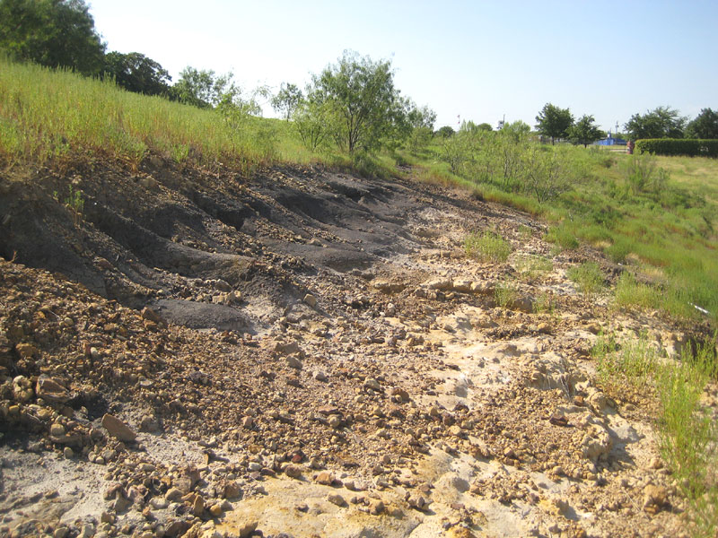
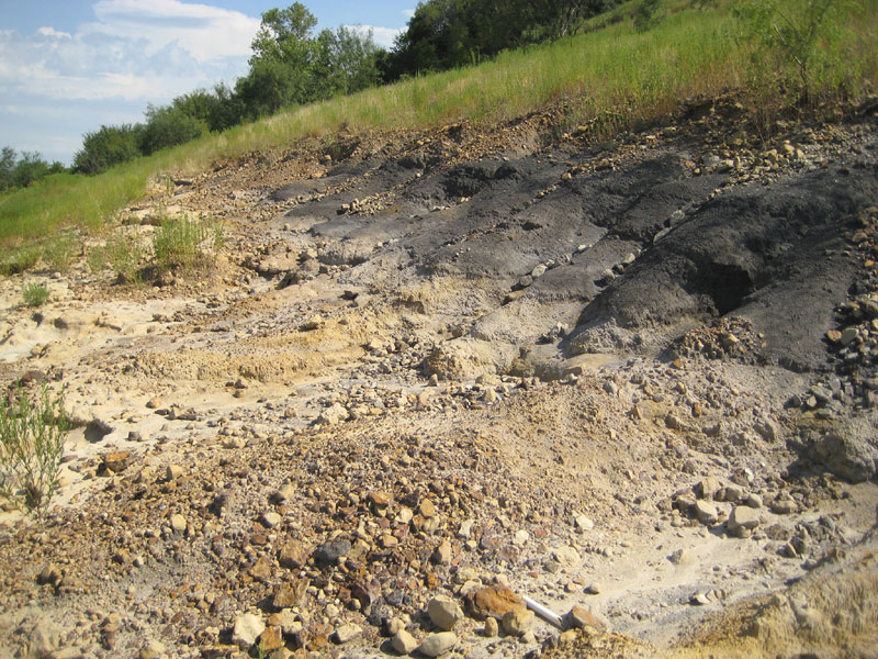
Grayson-Cooke counties.--- The basal Woodbine is of variable
composition. At Cedar Mills, massive sand overlies the Grayson. On Rock
Creek, northeastern Grayson County, the Grayson is overlain by 10 to 15
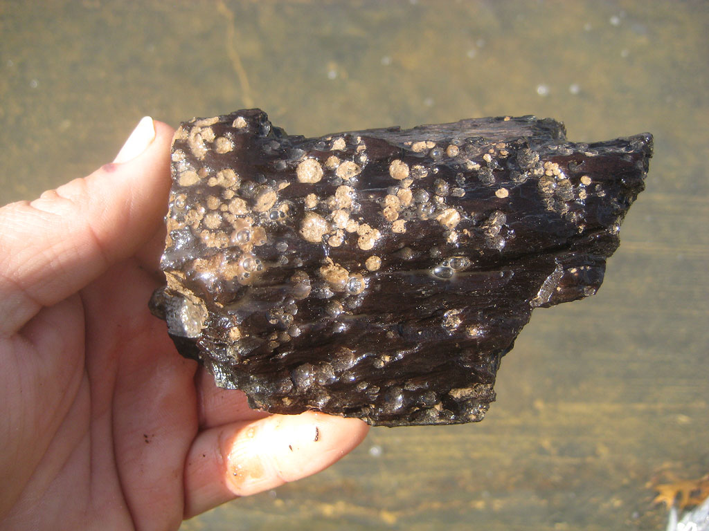
feet of lignitic clay containing thin seams of lignite, lignitic sand and
lignitized wood debris; this is succeeded by massive beds of yellow and
brown sand, interstratified with lenses of blue and black clays. At a
locality 6 miles southeast of Gainesville, Taff observed the Woodbine
sandstone resting directly on Grayson marl, without an intervening clay
stratum. In a branch of Choctaw Creek about 7 miles east-southeast of
Denison, Taff reports that above the Grayson there is about 20 feet of
purplish-blue, lignitic clay, overlain by considerable cross-bedded
Woodbine sandstone. North of Denton County, the Dexter sand makes a
conspicuous outcrop, forming a sandy, timbered soil strewn with blocks of
dark, ferruginous sandstone and siliceous ironstone concretions. This
outcrop passes northwards through Woodbine, Callisburg, and Dexter, and at
a point south of Orlena turns eastward down the Red River valley, and
continues thence through Gordonville, Pottsboro, and Woodlake. The knobs
of Iron Ore Ridge consist of Dexter clays and sands capped by hard,
fossiliferous Lewisville sandstone. The Dexter sands in Grayson County
reach a thickness of 250 feet, of which the basal 100 feet contains much
dark brown indurated ferruginous sandstone and ironstone concretions. The
bulk of the Dexter consists of sandstone, sand, and clay. The sandstone
ranges from soft to hard, from massive to thin bedded, and in color from
white or greenish to yellow, brown, and red. The grains are coarse and
quartzose, the cementing material calcareous or siliceous. In Denison the
basal part of the Dexter consists of free white sand and a small amount of
mica flakes and glauconite specks. This portion of the Woodbine yields
dicotyledonous leaves at localities near Denison (803, pp. 314-317).
The Lewisville beds become more clayey and less sandy north-wards from
Timber Creek, the type locality. Near Gordonville they consist of
dark-blue clay, and brown sandy clay containing beds of impure lignite up
to 3˝ feet thick. Lignite outcrops in Walnut Creek north of Gordonville
and near Big Mineral Creek between Gordonville and Pottsville. On Hickory
and Big Mineral creeks the Lewisville has increased in thickness and
consists of sandy clays (the proportion of sand having decreased) and
several local seams of lignite up to 3 feet in thickness. Hill places the
top of the Woodbine at a greenish-gray sandstone stratum containing Exogyra
columbella Meek.
Denton-Tarrant counties.--- The basal clay in this district
consists of 5 to 25 feet of fine-grained, blue-black or purplish-black,
practically non-calcareous clay, deposited in irregular sheets of
different thicknesses, but devoid of shaly lamination and breaking with a
conchoidal fracture. The clay is marine, and carries ammonites (Mantelliceras
or Submantelliceras, Scott), pelecypoda, gastropoda, and
foraminifera. It is exposed on the Sanger road west of Pilot Point, and
has been found in core drills in Tarrant County, but at most localities on
the outcrop it is badly overwashed by Woodbine sand. It is overlain by
apparently non-marine sands and sandy clays. Scott considers the basal
clay as having been deposited near the mouths of rivers draining lowlands
(1820, p. 2).
Southeast of Denton the 10 to 15 feet of thin layers of ferruginous sand
and sandy clay at the base of the Woodbine is succeeded by thick Dexter
sands. At the Denton brickyards the basal Woodbine consists of dark blue
to gray clay, some sandy clay, and thin seams of blue-gray, blackish and
reddish sandstone.
The Dexter sand, which reaches a thickness of 100 feet or more in this
region, is difficult to partition because of its inconsecutive exposures.
It has at least two main sandstone members, the lower one, containing
fossils, being exposed around Burleson and at localities 2 miles or more
west of Tarrant station, the other being exposed in cuts just east of
Tarrant station. The intervening strata are dark laminated clays and sandy
clays.
The Lewisville in Tarrant County includes sandstones, sandy clays, and
lustrous, black, oyster-bearing clays, as exposed around Tar-rant station
(1575, pp. 293-294). Taff published a section of 200 or more feet of
Lewisville sands, sandstones, and clays at the type locality, Timber Creek
south of Lewisville, southeastern Denton County.
Johnson-McLennan counties.--- At the outcrop the Woodbine thins
from 300 feet at the Tarrant-Johnson county line to nothing in northern
McLennan County. Underground it thickens in a north-east direction toward
the East Texas embayment. On North Chambers Creek, 6 miles southeast of
Alvarado, the upper 68 feet of Woodbine consists of sandstone and clay,
both the upper and the basal strata containing Lewisville fossils (1575,
pp. 290-291) . On South Chambers Creek north of Grandview, the upper 71
feet of Woodbine consists of sandstones and some clay, with Lewisville
fossils. The Dexter sands and clays have a large outcrop to the west of
these localities. On Cottonwood Creek south of Osceola, northern Hill
County, the upper 86 feet of the Woodbine consists of sandstones,
packsands, and clays, with Lewisville fossils in the upper part. Near
Aquilla, southern Hill County, sands, sandstones, and clays form the
middle and basal Woodbine, but no Lewisville fossils are recorded from
this section (157.5, p. 288). At the R. E. Finley well. 2 miles south of
west of Aquilla, 13 feet of white and brown sandstone and blue shale
represents the Woodbine (11, p. 39). Between this point and Bosqueville,
west of Waco, any thinned Woodbine is represented in the black, lustrous
shales beneath the Eagle Ford flags. At Bosqueville about 2 feet of
Woodbine sandstone with Ostrea cf. carica Cragin overlies
the Buda. Near China Springs limestone blocks contain O. soleniscus
(11, p. 59). South of this locality the Woodbine, if present, is
represented in the black, lustrous shales beneath the Acanthoceras
flags.
The materials and mode of deposition of the Woodbine have been somewhat
studied. The materials (Ross, Miser and Stephenson, 1353: Plummer, 1234b;
Kelsey and Denton, 899b) consist of quartz (angular to rounded; clear,
milky, gray, pink, purple), clay and silt, volcanic ash, bentonite,
carbonaceous material, black chert, glauconite, marcasite, pyrite and
other substances. In outcrop and well samples, and from all parts of the
Woodbine, generally about 70% by weight of the grains falls in grade 3
(.295–.147 mm. diameter). In the Red River valley the Woodbine contains
much volcanic material (1353). The deposition (Scott, 1391: Shuler and
Millican, 1455b) is notably lenticular, and is stated to be regulated by
current action. Shuler and Millican state that the Upper Woodbine
(Lewisville) in south-central Denton County was marked by shallow,
off-shore, lenticular deposition of "materials transported from the
northeast for distances necessary for moderate sorting." The section
shows several southwardly advancing lentils of sand, sandstone or sandy
clay (one of them called the "Copperas Branch tongue," 14551),
p. 19).
Subsurface in outcrop-counties.--- Wells in the northern tip of
McLennan County passed through only a small thickness of Woodbine: in the
F. & M. well at Leroy there was logged 5 feet (855–860) of hard sand
rock, but in the Wirt Franklin, J. A. West No. 1 well sands bearing salt
water were found for an interval of 118 feet (9i5–1093). Thence the
subsurface margin of Woodbine as re-corded in wells passes southeastward
across Limestone County, and crosses the Mexia fault south of Groesbeck.
The Woodbine isopachs run in a southeast direction, and between Hillsboro
and Hubbard the formation is 100 to 150 feet thick.
Northwards across Johnson County, Woodbine in wells thickens from 160 feet
to about 300 feet, in Tart ant County it is about 325 to 350 feet, in the
Dallas wells reported by Shuler it is given as about 325 feet, and in
Grayson County it probably reaches a thickness of 500 feet.
Southern extension of the Woodbine.--- From McLennan County
southwards a purplish-black, non-calcareous clay, which lies above the
Grayson (or the Buda) and below the Acanthoceras flags of the Eagle
Ford, has been considered as the southern extension of the Woodbine by
Stephenson and several other writers. This clay has been best studied in
the Belton-Temple section. It is here called the Pepper
formation.
|
 [+]
[+]
 [+]
[+]


 [+]
[+]


![[+]](fieldtrips/2014-08-28/2014-08-28-010-1000.jpg)
![[+]](fieldtrips/2013-02-03/101_4375-1000.jpg)