[ pages: 1-23 ... 24-39 ... 40-59 ... 60-85 ... plates ... index ]

University of Texas Bulletin No. 1931


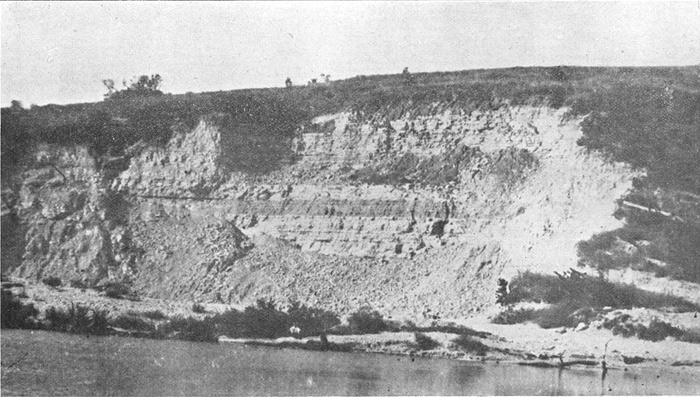
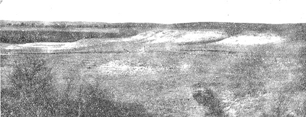
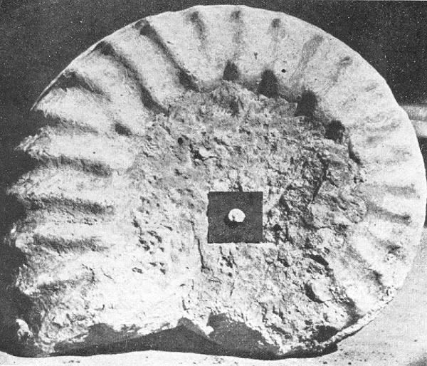
Plate 1.  Goodland limestone (top of Fredericksburg division) at the Lake Worth Dam, 8 miles northwest of Fort Worth.

University of Texas Bulletin No. 1931


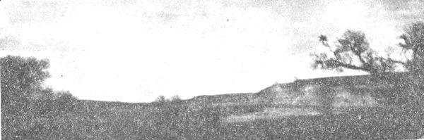
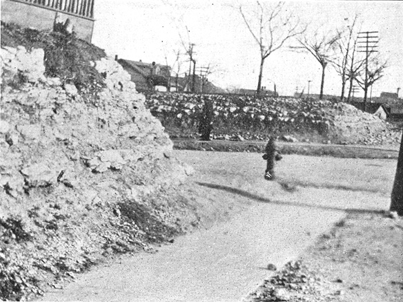
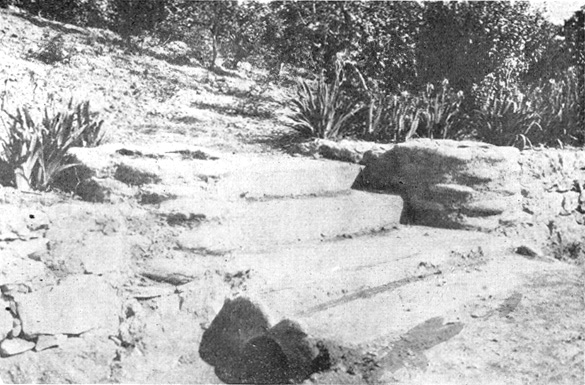
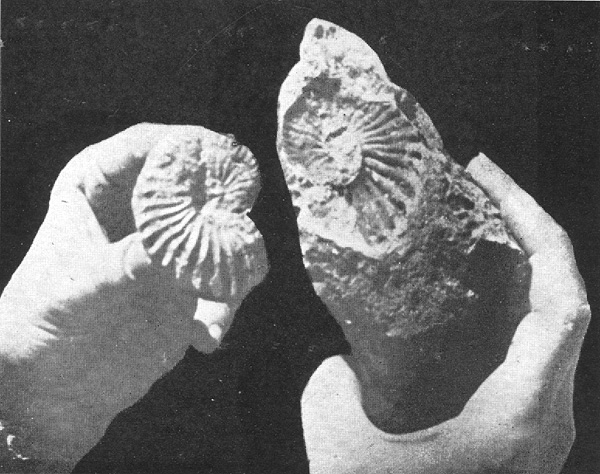
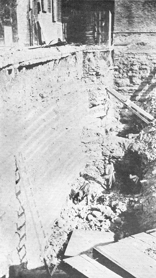
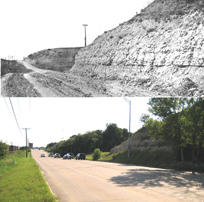
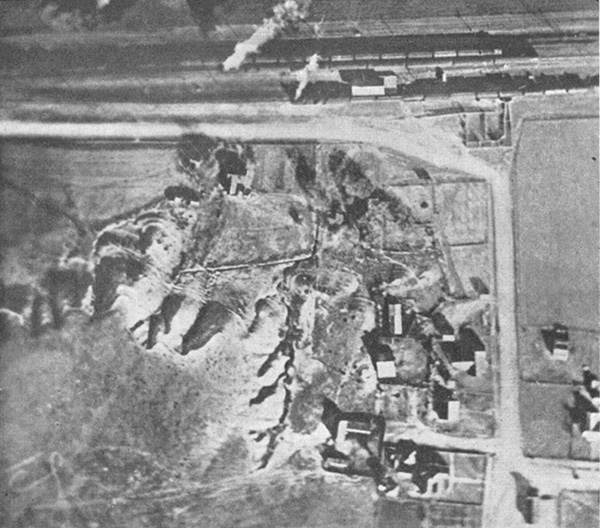
Plate 2.  Fig. 1.  Airplane view of top of Goodland limestone, Benbrook, Texas (Locality described by Taff.)


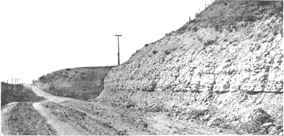
Plate 2.  Fig. 2.   Goodland limestone, Stove Foundry Road [Vickery], 4 miles west of Fort Worth.  
The base of the telephone pole is the Upper Salenia horizon.   [The same view today?]

University of Texas Bulletin No. 1931


Plate 3.  Fig. 1.  Top of Goodland (Fredericksburg) limestone looking east from near Benbrook.


Plate 3.  Fig. 2.  Terrace in the Fredericksburg division.  The top terrace is the top of the Goodland.


Plate 3.  Fig. 3.   Terraces in the basal Washita Division.  
The bottom terrace is the top of the Goodland limestone, and the top two are the Duck Creek limestone and marl.

University of Texas Bulletin No. 1931


Plate 4. Fig. 1.  Base of Fort Worth limestone, which underlies the business section of the City of Fort Worth.  
On Main Street, the base of the limestone is about 30 feet underground.  The limestone is underlain by the less resistant Duck Creek marl.


Plate 4. Fig. 2.  Gate posts and flower beds in Forest Park, built of the large ammonite, Desmoceras brazoense [Eopachydiscus].


University of Texas Bulletin No. 1931


Plate 5. Fig. 1.  The large ammonite, Schloenbachia sp. J. [Mortoniceras], which characterizes the Fort Worth limestone.


Plate 5. Fig. 1.  Illustration of the terms "cast" (left) and "mold" (right).

University of Texas Bulletin No. 1931


Plate 6.    Fort Worth limestone, in excavation at northwest corner of 8th and Houston sts., Fort Worth.  
Excavations for buildings in the main business district pass into or entirely through the Fort Worth formation.

[ pages: 1-23 ... 24-39 ... 40-59 ... 60-85 ... plates ... index ]